
Harper College will be closed on Monday, September 7, in observance of Labor Day.

Downtown Harare from Harare Kopje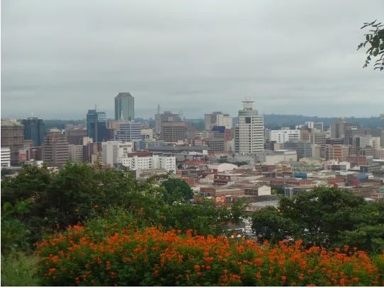
Our first stop at the Harare Kopje provided a glimpse at the expansive layout of the city, which was first established as Fort Salisbury by British business mogul, imperialist, and politician Cecil Rhodes in 1890. This highest point of Harare, at approximately 4,800 feet, provides a wonderful panorama of what is now a populated and built-up city, and conjures images of what was then open grassland. Now, the kopje and its surroundings are in a bit of disrepair, with cracked concrete and overgrown shrubbery obscuring some of the view. Nevertheless, its view and the conjured imagery of a colonization waiting to happen are vivid in the mind’s eye of the beholder.
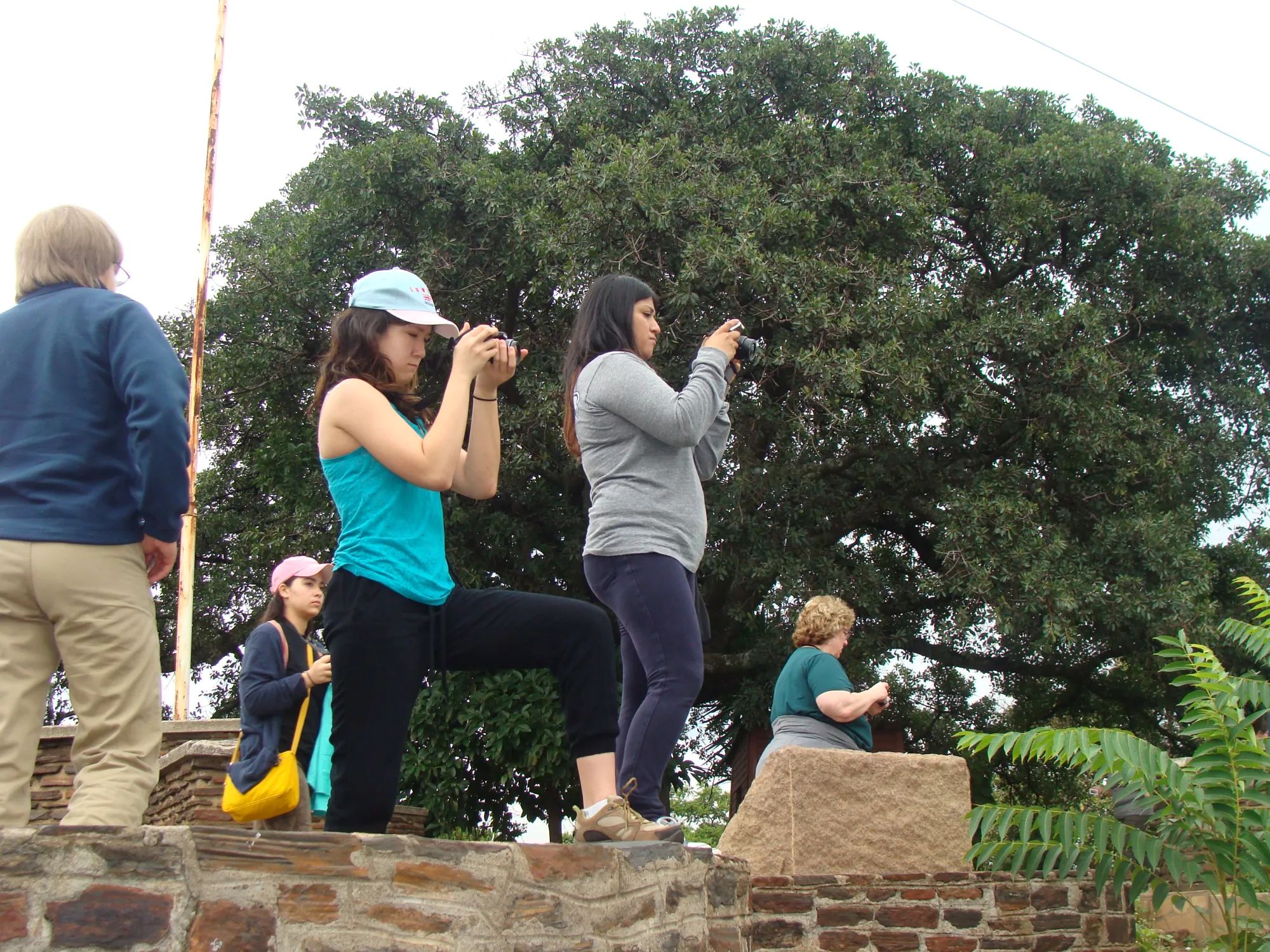
Learning from Asa Jogi at the kopje Capturing observations at the kopje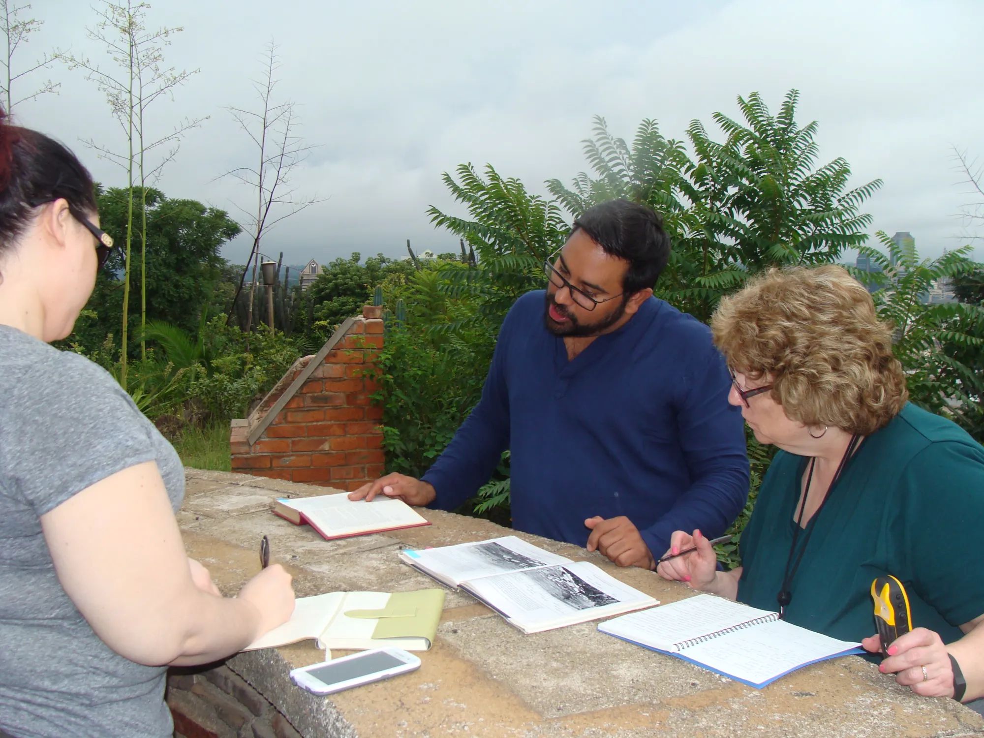
Moving on from Harare Kopje, we were bombarded with a blur of fast moving sights. There was the impressive Cathedral of the Sacred Heart, a Roman Catholic Church built circa 1930, and overflowing into the streets on this Palm Sunday were worshipers of a very religious nation. The Anglican Cathedral of St. Mary, a few blocks away, was equally striking on its corner location with beautiful, flowering, colonial-era trees.
Cathedral of St. Mary, Harare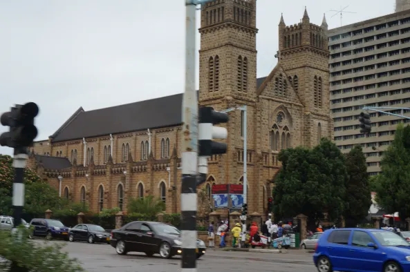
The architecture of the colonial era, such as the 100 year old Meikles, Jameson and Elizabeth hotels, was impressive in their grandeur. The central business district had its share of high-rise buildings, with outlying areas changing to a mixture of low-rise, colorfully painted buildings. In evidence everywhere was the tug-of-war between the colonial and independent Zimbabwean influences. On one hand, the once-dubbed Cecil Rhodes Square – its walkways designed to imitate the design of the British flag, the Union Jack – became known as the Africa Unity Square (pictured below) following independence. On the other hand, streets renamed in honor of independence heroes – such as Robert Mugabe Way, Joshua Nkomo Road, and Herbert Chitepo Avenue – often intersected with thoroughfares dubbed in honor of the colonial era, such as Prince Edward Street, Livingstone Avenue and King George Road. This juxtaposition seemed to personify the post-colonial condition that still exists today.
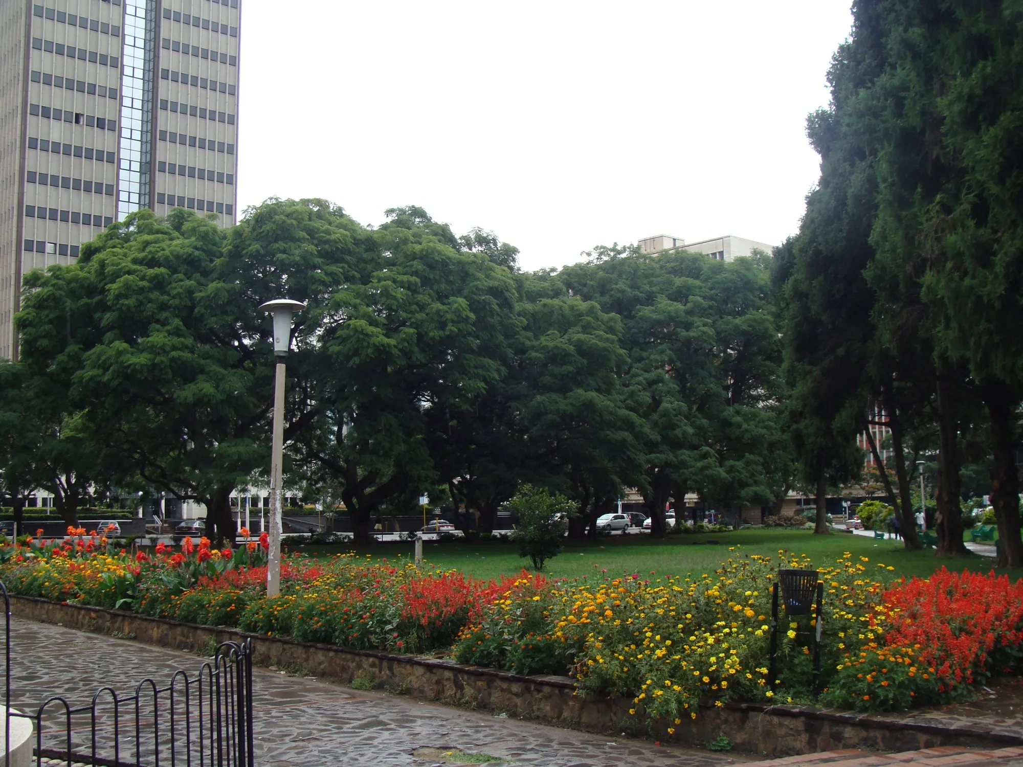
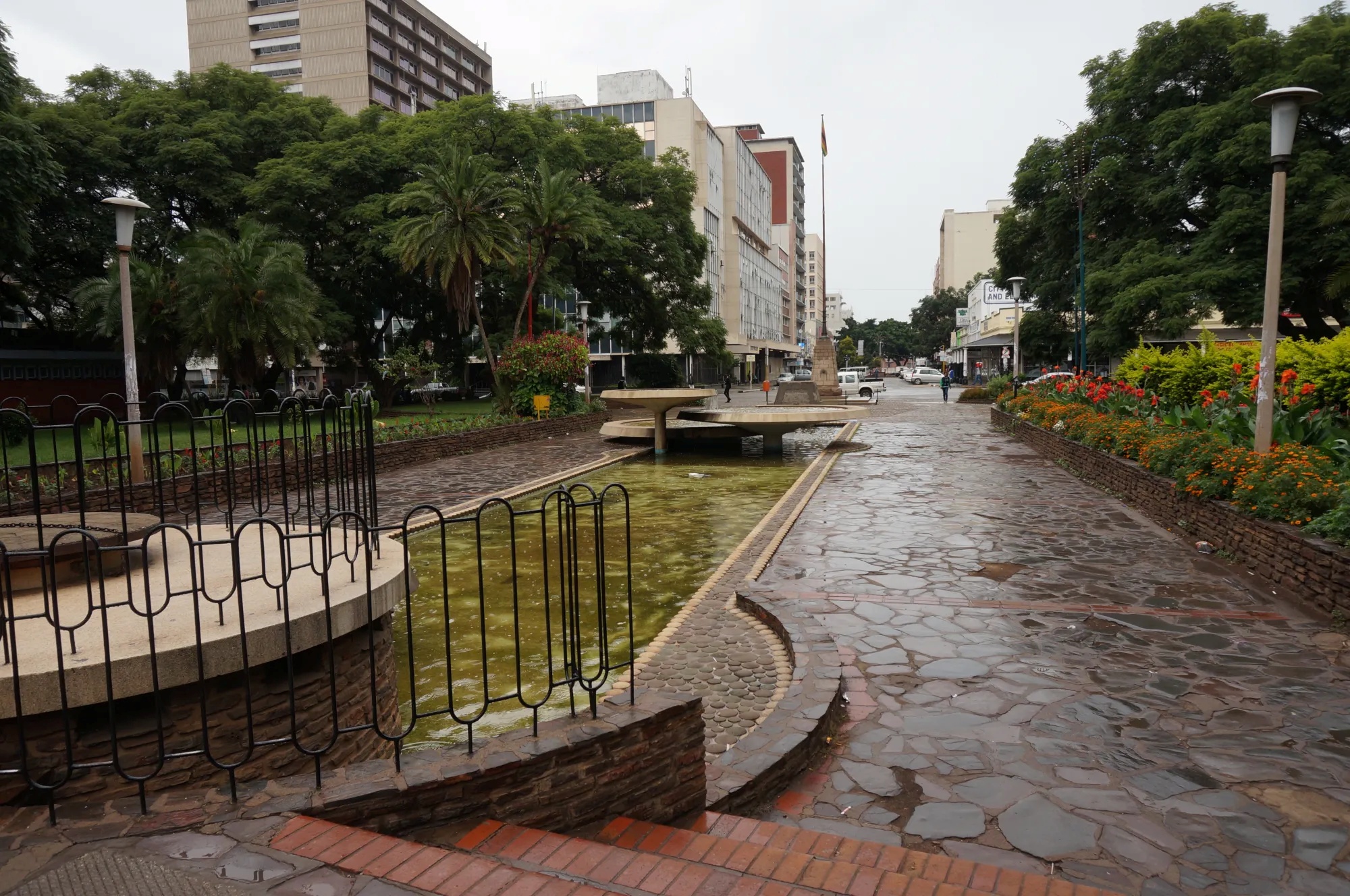
African Unity Square. Waterless fountain in the foreground.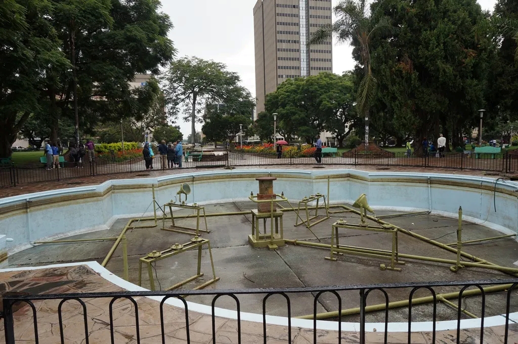
The Africa Unity Square boasted beautiful garden beds filled with bright flowers, and age-old trees such as the indigenous Msasa (Brachystegia spiciformis) hardwoods and flowering Frangipani (genus: Plumeria), again planted in rows to recall the stripes of the Union Jack that flew there during colonial rule. One would think this peaceful place would be the pride of the city; yet the elaborate water fountains lining the walkways were dry, the refuse baskets were overflowing, and a lonely strand of “Merry Christmas” lights were merely dimmed, not removed – remaining in place until next Christmas. The challenge of urban decay due to economic and social pressures came into focus for us.
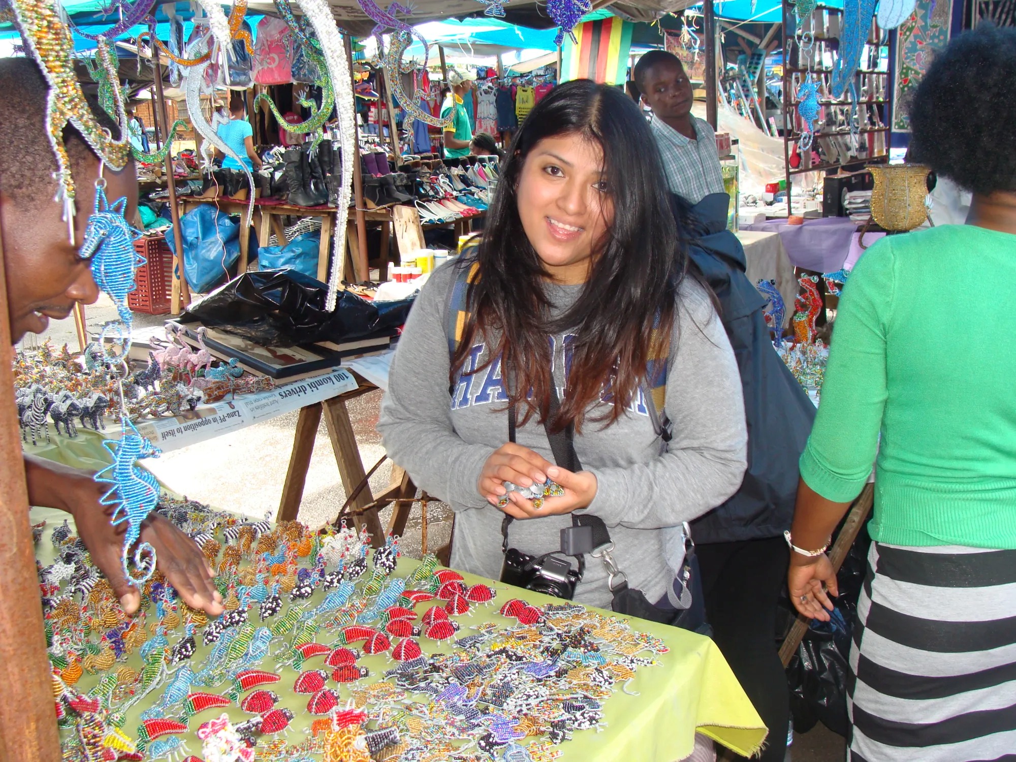
As we drove towards our next appointment, we noticed that the infrastructure varied with the relative wealth of particular neighborhoods and the hierarchy of the road. Our next appointment was at the Sam Levy’s shopping center in the up-market Borrowdale neighborhood. Our drive there took us along tree lined roads, some of which had solar lighting, and past the Celebration Ministry mega church. The common practice of walled fences made it difficult to see complete views of the homes in the leafy compounds. At the Sam Levy’s flea market (pictured below) many members of the group had their first experience with bargaining, the practice of negotiating the price of an item with the seller. It was a good way to interact with Zimbabweans, sharpen negotiation skills, and practice some Shona words. Lunch was at Gava’s (Shona for the “bat-eared fox”) in the suburb of Avondale, where we tried local foods including the starch staple, sadza, which is typically made from corn.
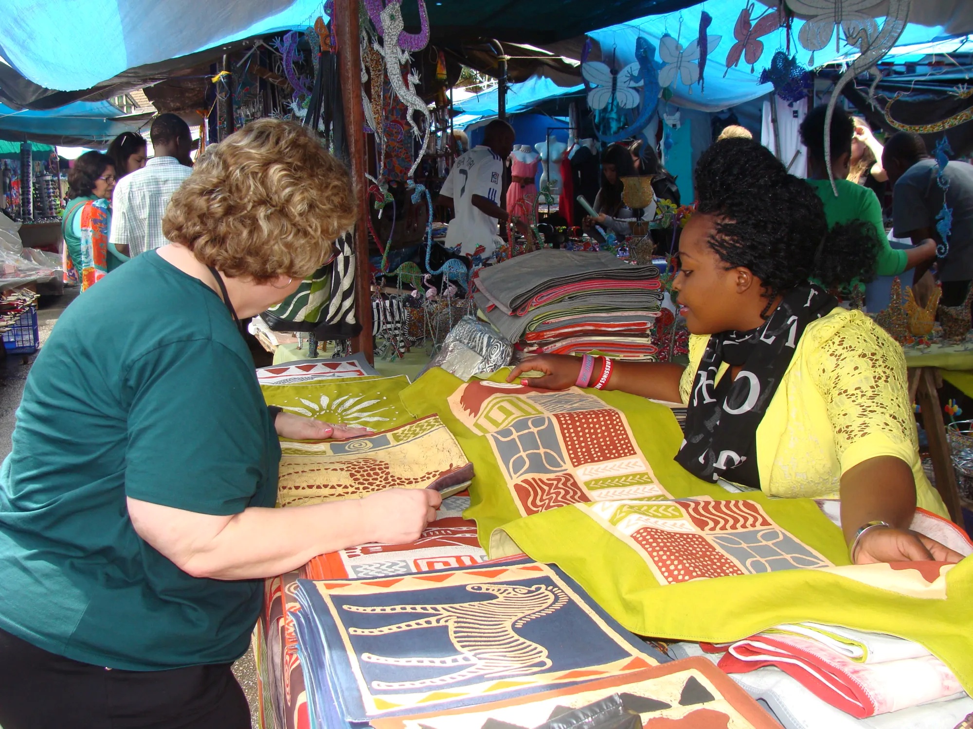
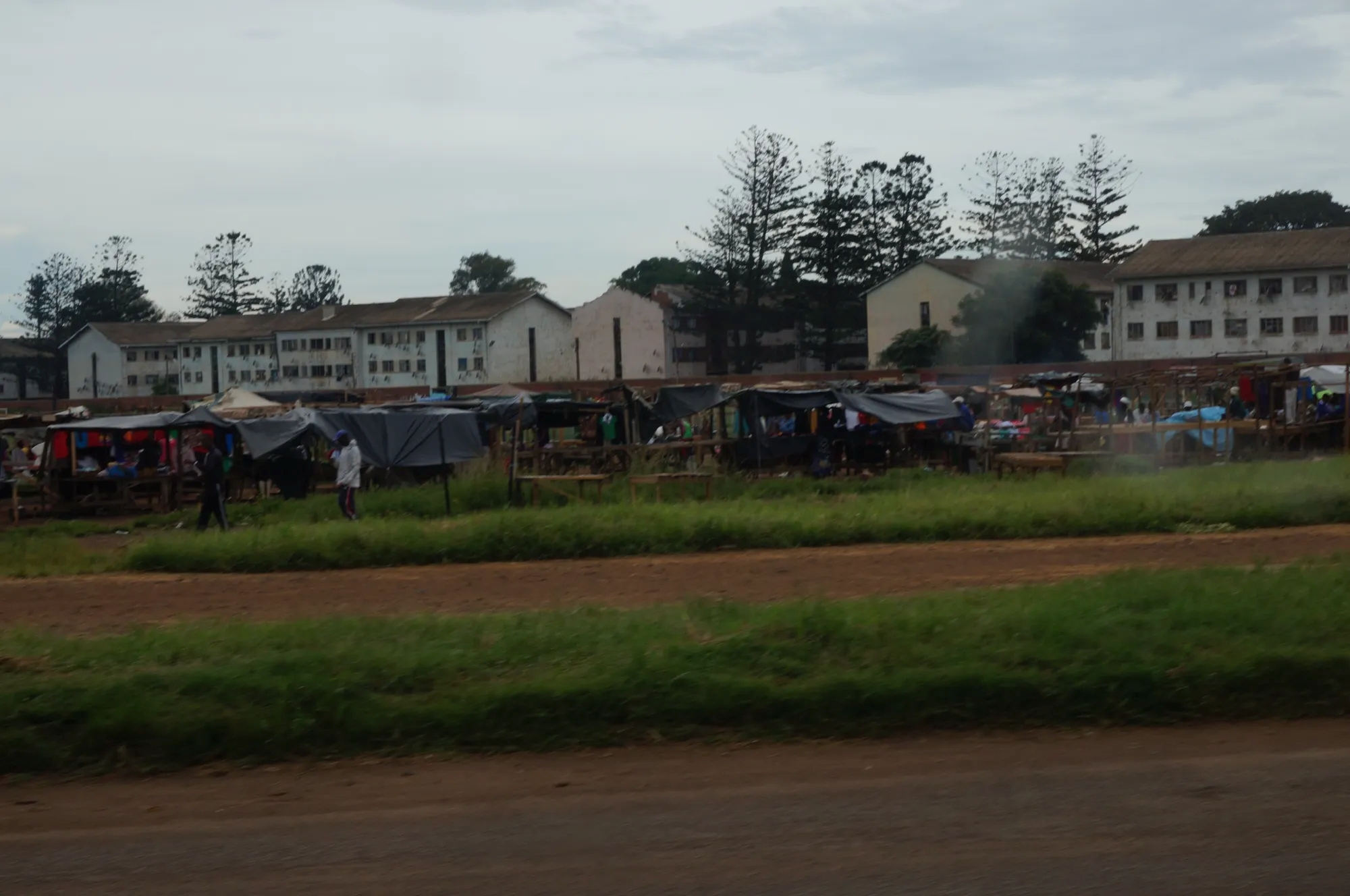
Our tour through Harare continued to Mbare, a high density neighborhood first established to house African labor during colonial times. Mbare was now a teeming neighborhood with crowded storefronts, a mixture of tarp-covered and open air market stalls, neglected roads, and impoverished housing. The depressed appearance masked a vibrant informal-sector economy with significant business in agricultural commodities, manufactured, and industrial goods, including a reported USD 3 million daily turnover at the Mbare Musika vegetable market. Pedestrians and merchants alike had an understandably mixed reaction to the presence of a tour bus in that area.
Mbare. Original barrack style hostels used as apartments.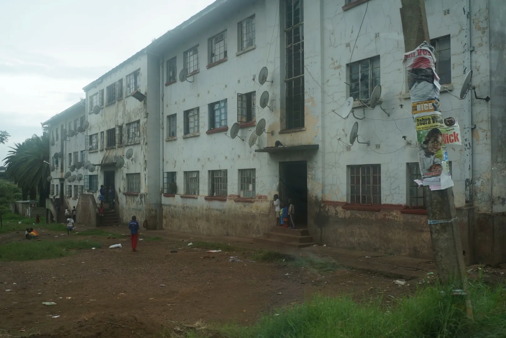
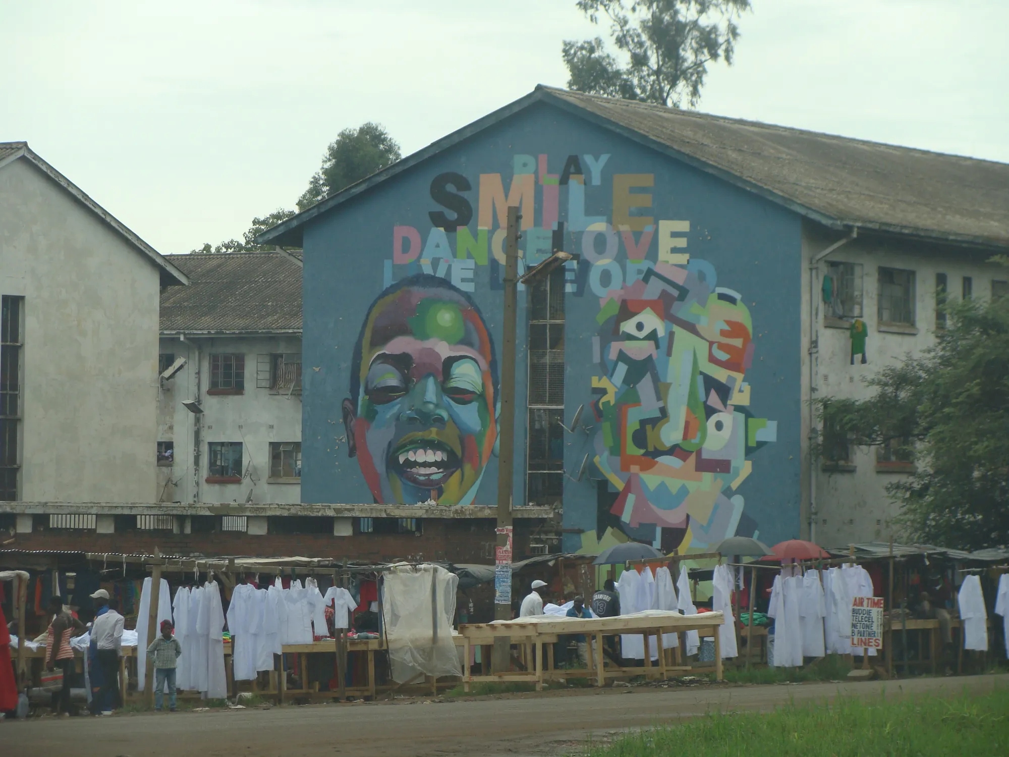
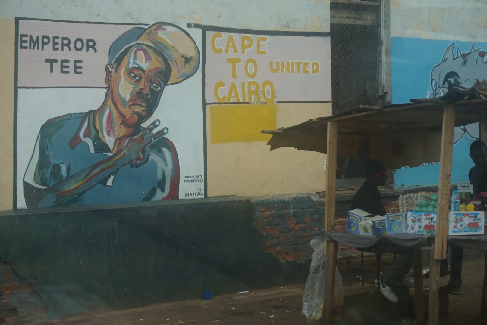
Our next stop took us to Chitungwiza, a township about a half hour away from Mbare. Here we visited the art colony devoted to Shona stone sculpture, where our bargaining skills continued to grow as the artists quoted a price for their wares and then entertained counteroffers from the buyers until a mutually acceptable price was reached or the buyer lost interest. All this among beautiful art garden sculptures and the dusty thatched workshop areas were the sculptors worked. The high level of artistry in stone carving was evident, with some artists traveling as far as 100 km to source the various types of granite rock used for sculpting.
Artist. Chitungwiza art village.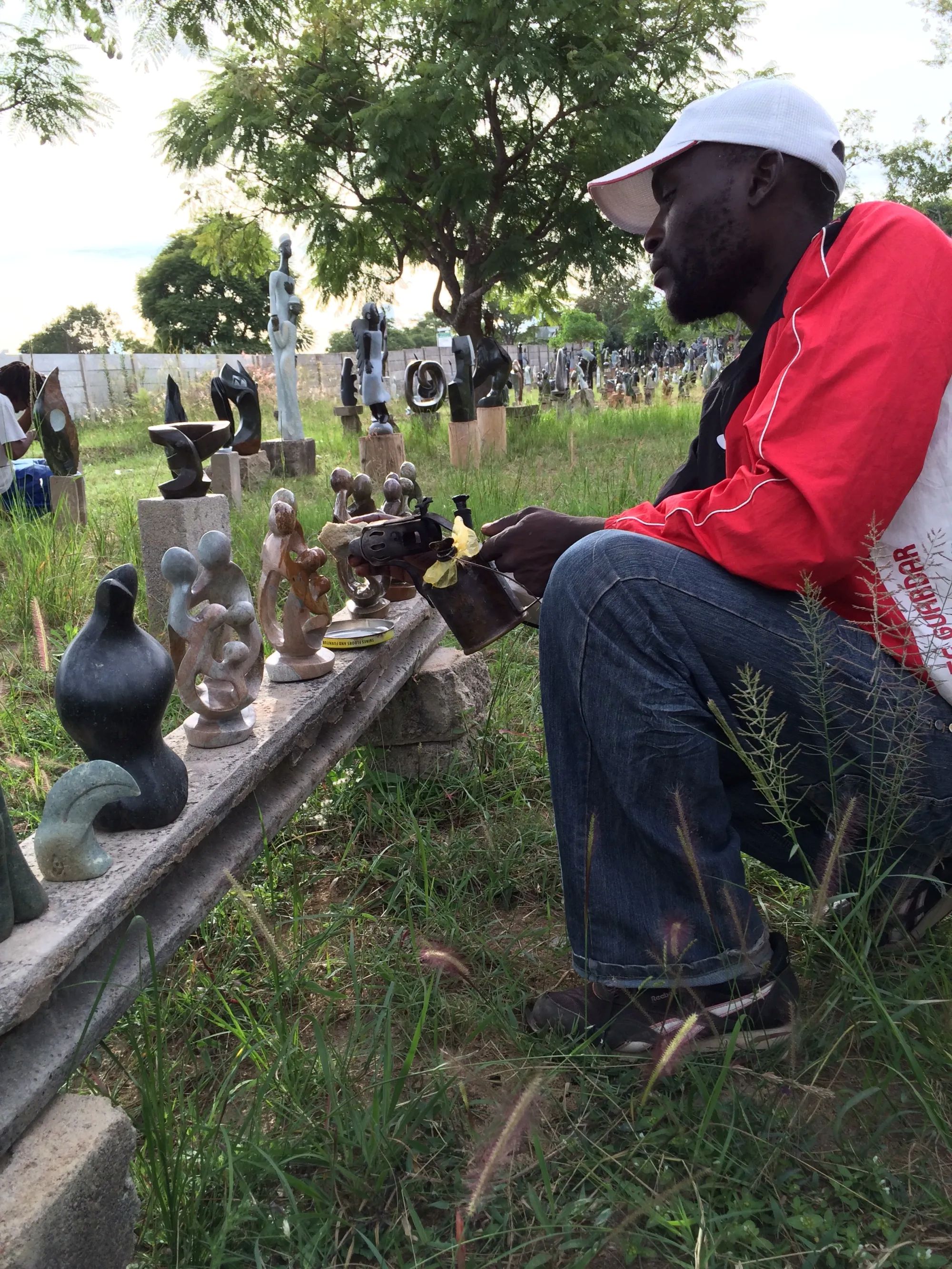
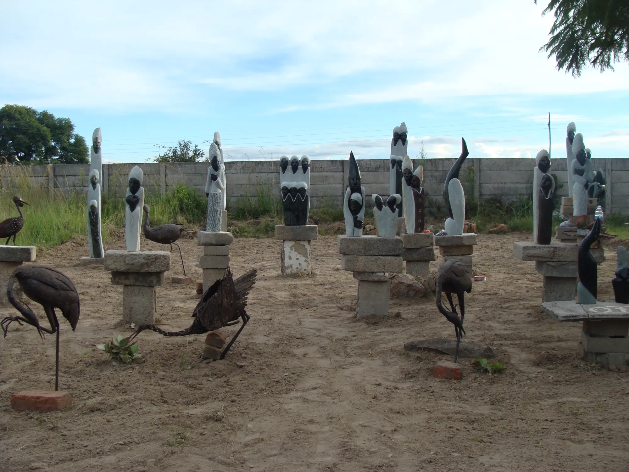
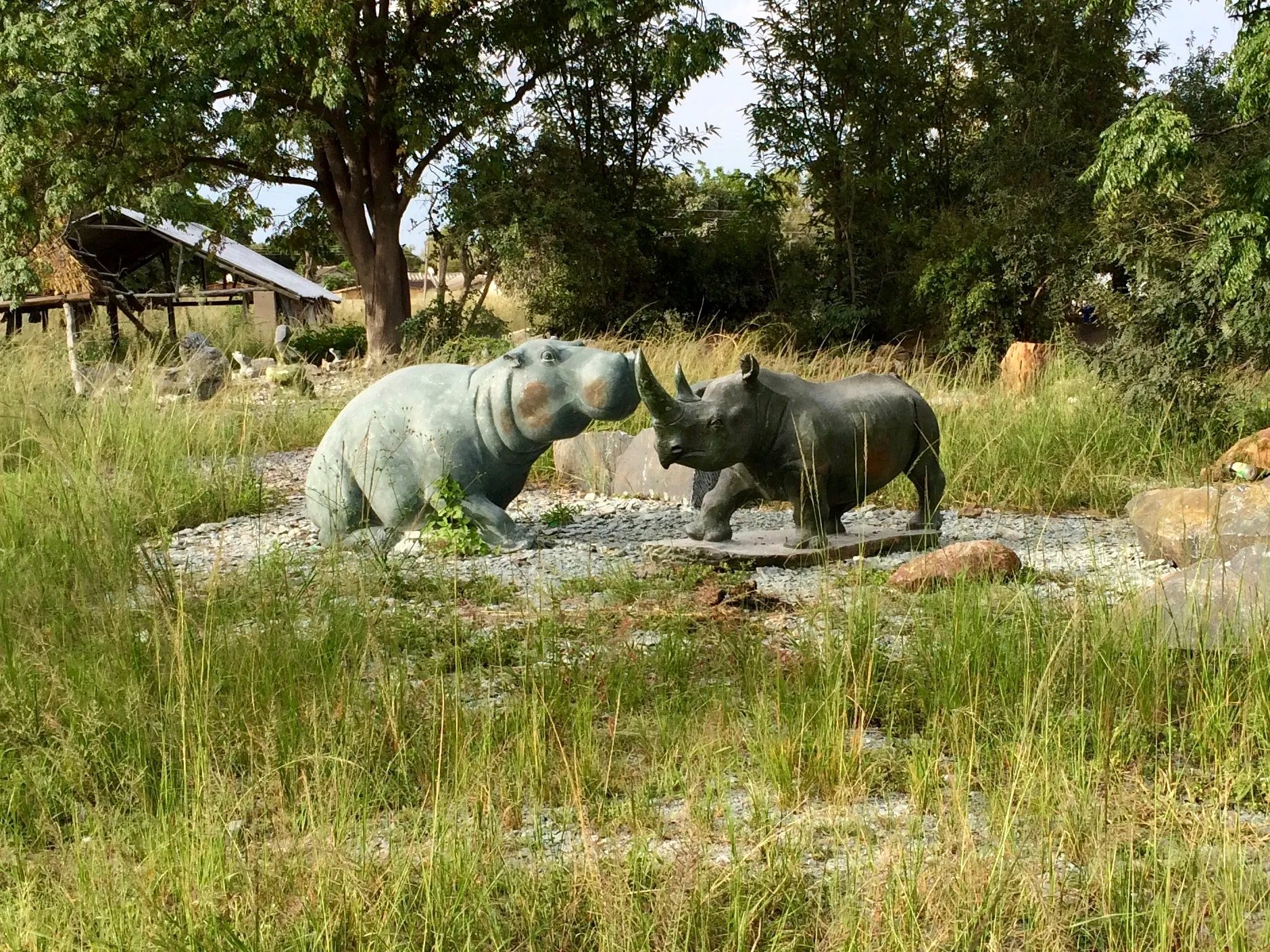

Chitungwiza. Bargaining with an artist.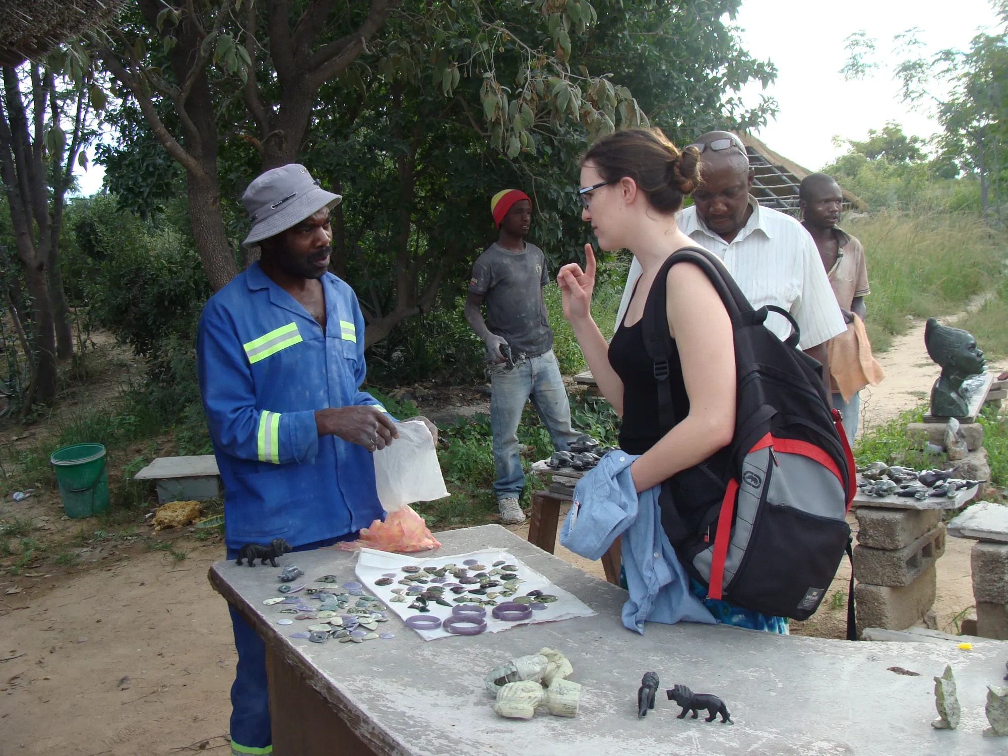
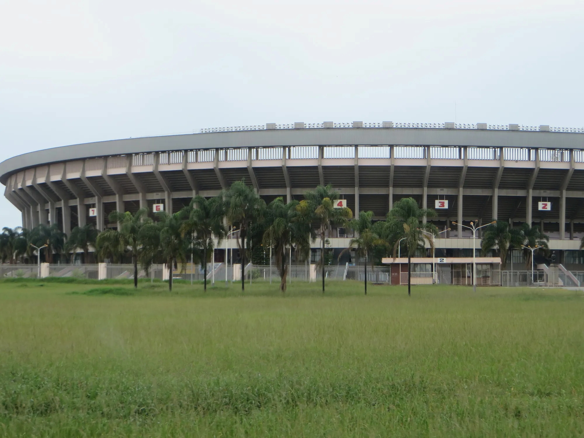
Throughout our stops, our guide Asa provided gems of information that punctuated and clarified the images we saw from the bus windows. We viewed Long Cheng Plaza, the large all-but-empty Chinese mall complex; the Presidential Compound, in all its splendor, which was guarded by young armed soldiers, its surrounding streets and walkways shut down to cars and pedestrians after 6pm; Heroes Acre hilltop memorial which reminded us of the eternal flame of the Unknown Soldier; and the Chinese-built 60,000-seat National Sports Stadium.
Long Cheng Plaza. Harare National Stadium. Harare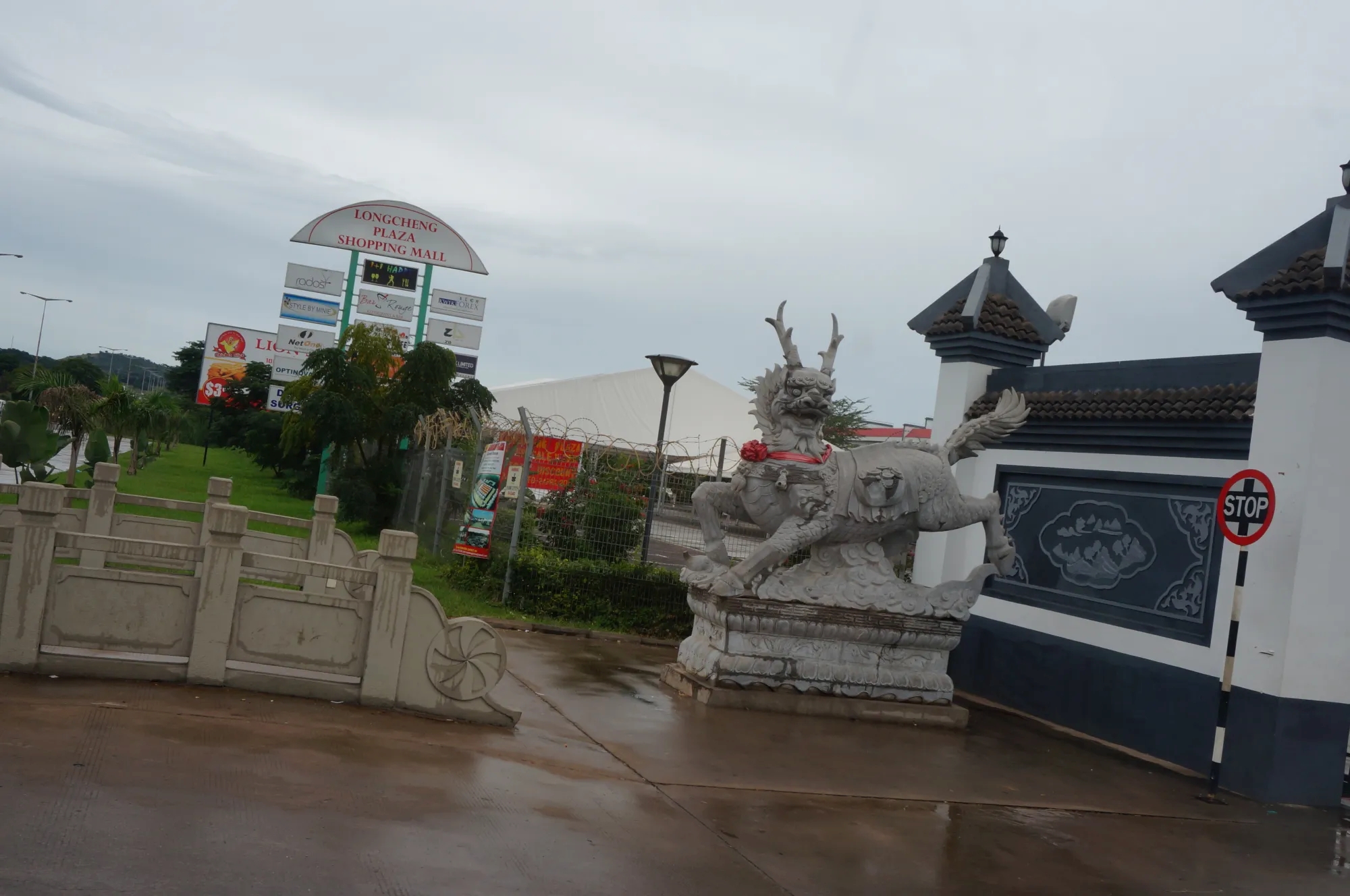
From the standpoint of infrastructure in Harare, the poorer residential areas of the city and outlying areas were underserved and blighted, when compared to the more prosperous parts of the city – a dichotomy that exists in varying degrees around the world. We learned that the cell antenna structures are positioned in the poor areas so as not to blight the wealthy residential neighborhoods. At the same time, we learned that the high density, poorer areas have no formal sewer system, only a “soakaway” system that slowly percolates raw sewage back into the groundwater. We learned that Lake Chivero, Harare’s main water supply, is struggling with heavy metal and sewage pollution. The wealthy residents of the city avoid this problem by digging their own bore holes – more evidence of social stratification that has always been a part of this city from colonial times until today.