Prepare for careers in drone operations and aerial data
From your first preflight check to the final map, image or data product, Harper students
learn the complete drone workflow.
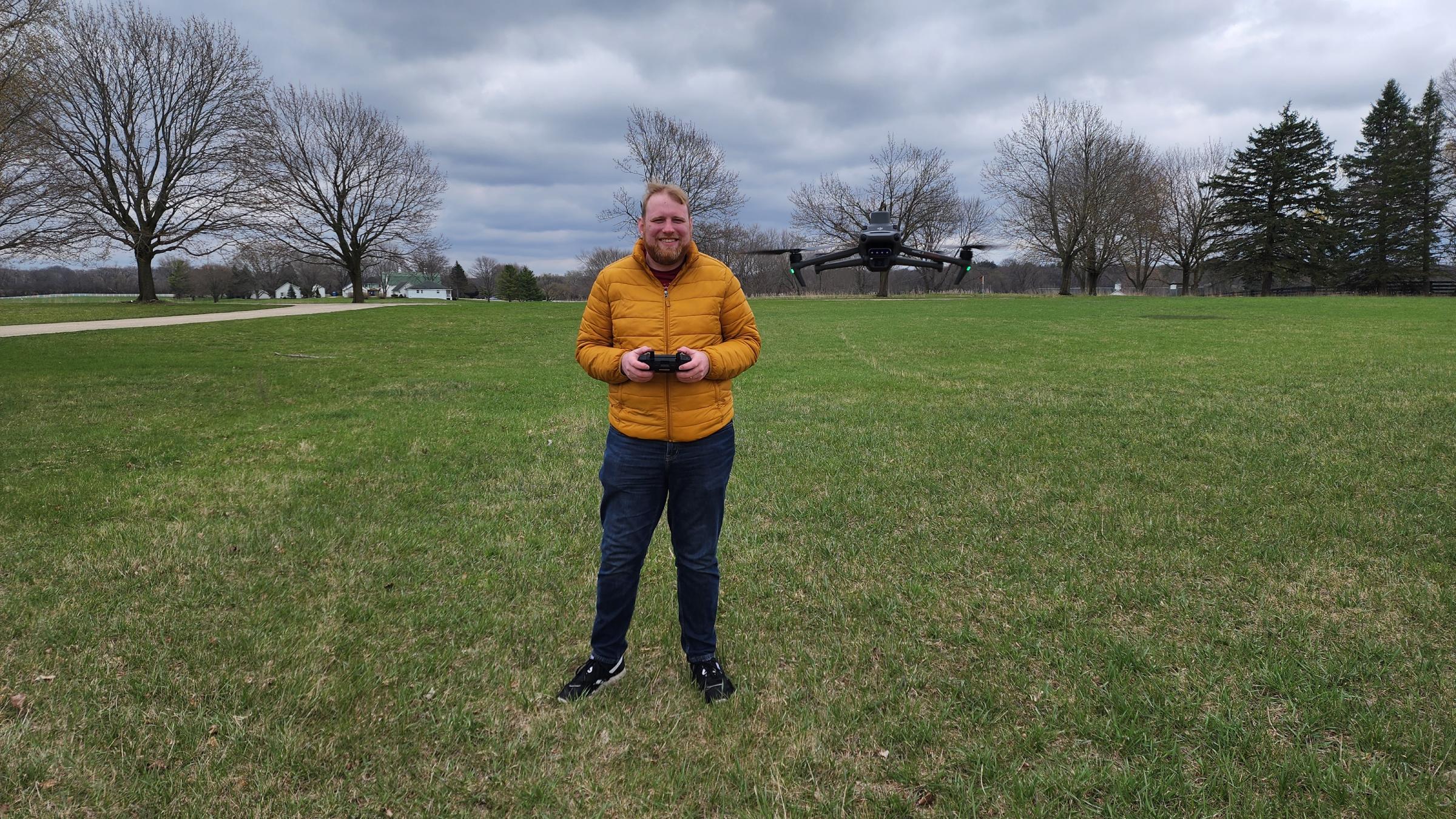
Build knowledge for the FAA Part 107 Remote Pilot Certificate, develop practical flight proficiency and learn to plan and conduct safe drone missions.
Experience multirotor, fixed-wing and VTOL aircraft and use data from RGB, multispectral,
thermal and lidar sensors for mapping, environmental monitoring, public safety, media
and other applications.
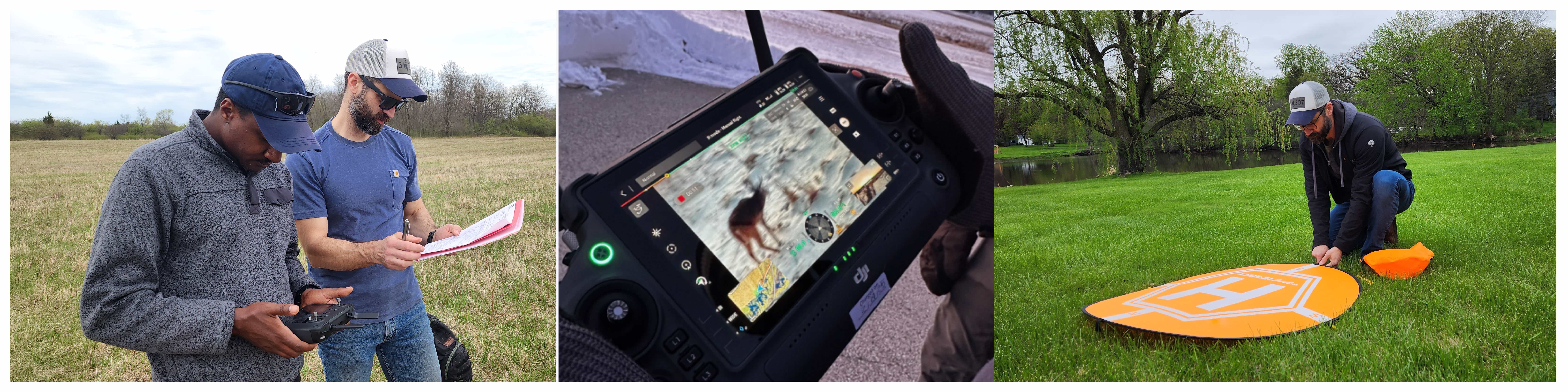
Field experiences with local nonprofits and organizations give you opportunities to
apply your skills to real needs while developing experience in teamwork, mission planning,
data collection and professional communication. Harper’s close connection with the
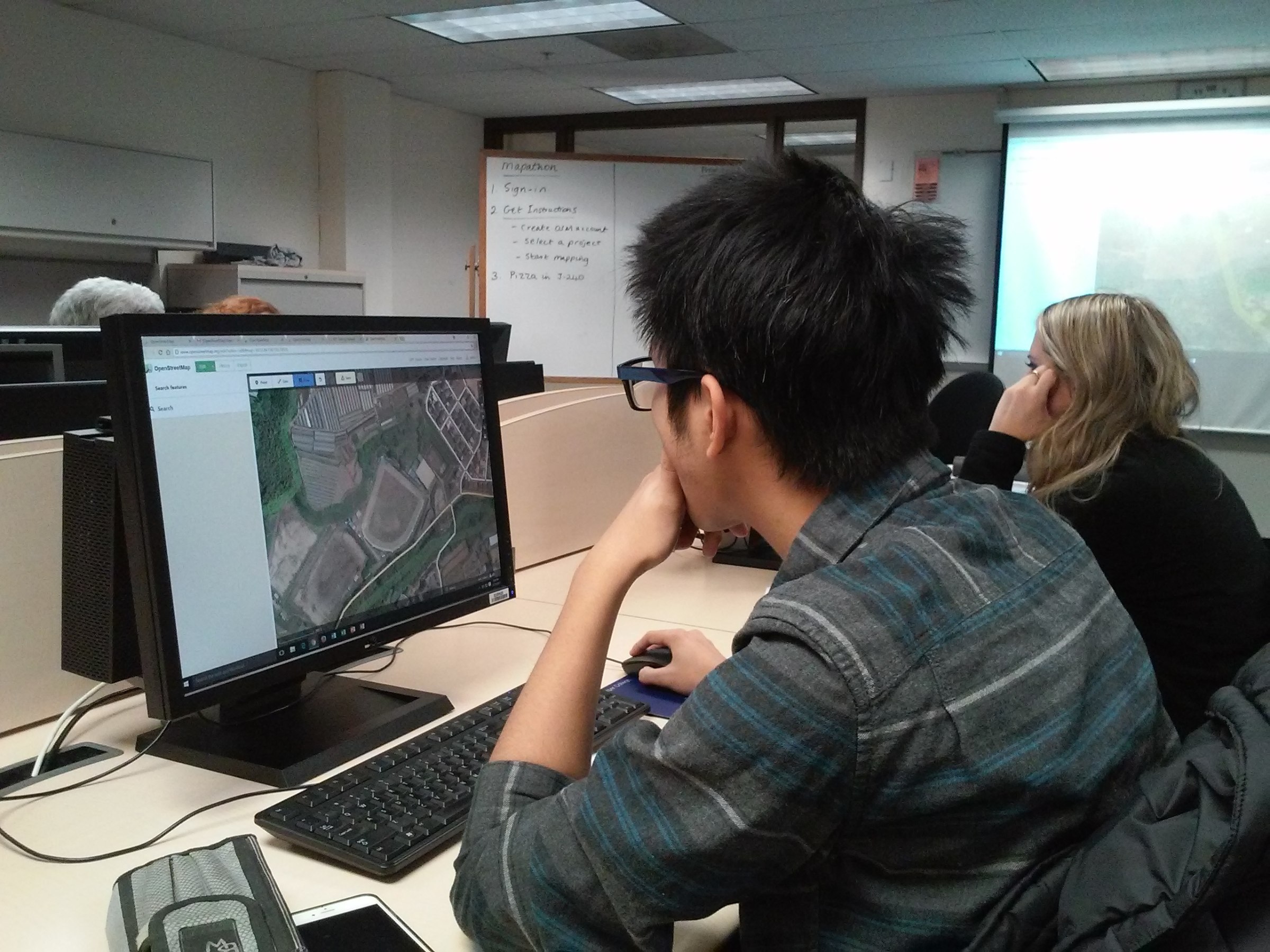
Geographic Information Systems Certificate also allows students to build skills in mapping, remote sensing and aerial data analysis.
An FAA UAS-CTI Participating Institution
Harper College participates in the FAA’s Unmanned Aircraft Systems Collegiate Training
Initiative. The initiative recognizes colleges and universities that prepare students
for drone careers and promotes collaboration among educational institutions, the FAA,
industry, government and workforce partners.
Drone Certificate Programs
Harper offers two stackable drone certificates. Begin with essential regulatory, flight
and application skills, and then continue into advanced drone technology and aerial
data applications.
Drone Essentials Certificate - 7 Credits This three-course certificate introduces FAA Part 107 knowledge, drone flight operations
and common professional applications. It is appropriate for students entering the
field and professionals who want to add drone capabilities to their existing careers.
Drone Technology and Applications Certificate - 16 Credits Build on the Drone Essentials Certificate with additional study in drone operations,
data processing and professional applications. Students can develop skills in photography
and videography or focus on mapping, GIS and remote sensing.
Harper's Continuing Professional Education program also offers Drone Pilot Ground
School and Small Unmanned Aerial Systems courses. See the CPE Course Schedule for details.
Why choose the Harper College drone program?
Harper combines flight training, advanced aircraft and sensors, aerial data processing
and real-world field experience in one program.
Experience a broad range of technology
Train with multirotor, fixed-wing and VTOL aircraft rather than learning on only one
type of platform. Work with RGB, multispectral, thermal and lidar sensors and learn
how aircraft and sensor selection depend on the mission.
Build practical flight proficiency
FAA Part 107 certification demonstrates knowledge of the regulations, operating requirements
and procedures for safely conducting drone operations. Harper complements that foundation
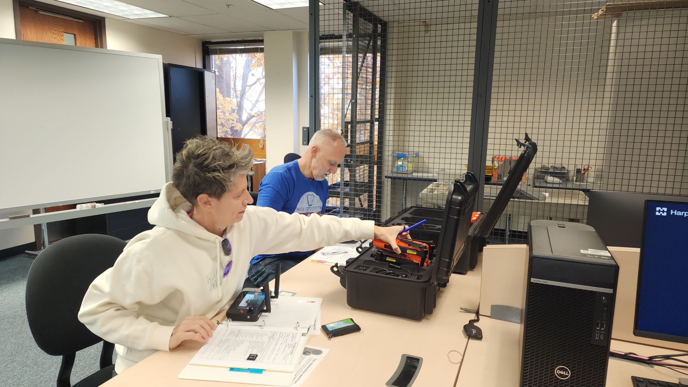
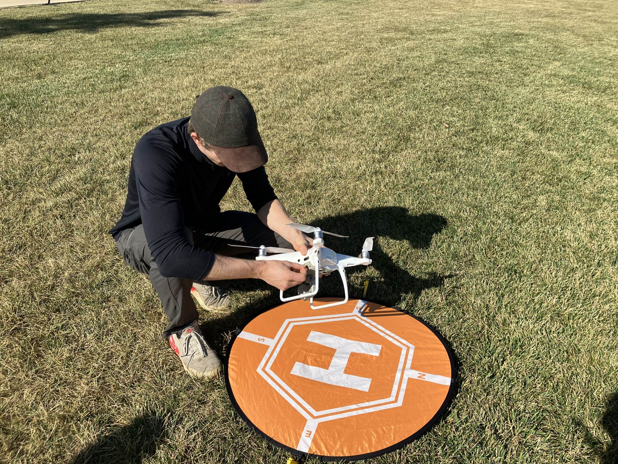
with supervised, hands-on practice in preflight procedures, aircraft control, mission
planning and safe field operations.
Complete the full drone-data workflow
Learn to plan flights, configure aircraft and sensors, collect aerial data, process
imagery and produce useful maps, models, photographs, videos and other information
products.
Work on projects with community partners
Apply your skills through field experiences developed with local nonprofits and organizations.
Projects may involve environmental monitoring, aerial mapping, natural-resource management,
public safety and other community applications.
Learn in an FAA-recognized program
Harper participates in the FAA’s UAS Collegiate Training Initiative, which recognizes
institutions that prepare students for careers involving drones and aerial technology.
From flight to finished product
1. Plan
Define the mission, review the site, assess airspace and select the aircraft and sensor.
2. Prepare
Complete safety checks, configure equipment and assign crew roles.
3. Fly and Collect
Operate the aircraft and capture RGB, multispectral, thermal or lidar data.
4. Process and Analyze
Create imagery, maps, models or other information products.
5. Communicate and Deliver
Interpret the results and present them to a client, partner or stakeholder.
Career in drone operations and aerial data
Harper’s drone certificates build flight, mission-planning and data skills that can
support entry-level opportunities or add drone capabilities to an existing profession.
Applications span many industries, including:
Agriculture: Drones assist with crop monitoring and management.
Cinematography: Drones capture photos and video used in advertising/marketing, film production, live
entertainment, sports and more.
Construction/Industry: Drones help with mapping and surveying land for construction, redevelopment and mining.
Real estate: Drones create aerial photography for property listings and marketing.
Public safety: Drones assist in monitoring public safety as well as search and rescue operations.
The program's emphasis on practical skills and industry-relevant knowledge ensures
that students are ready to meet the demands of these dynamic fields.
Get your drone technology career off the ground
Want to learn more about Harper’s drone courses and certificates? Contact Program Coordinator Mukila Maitha at mmaitha@harpercollege.edu or 847.925.6521, contact Admissions Outreach at 847.925.6700, or submit a request information form.