GIS and Drone Program Photo Gallery
Students and professors in the GIS and Drone program participate in a variety of activities
including drone workshops, Harper's Drone Club , and Drone Safety and Experience Day.
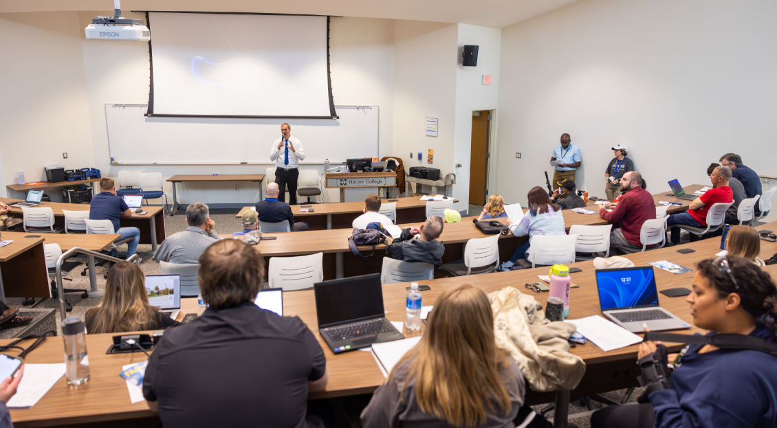
Harper faculty drone operations course. Summer 2024.
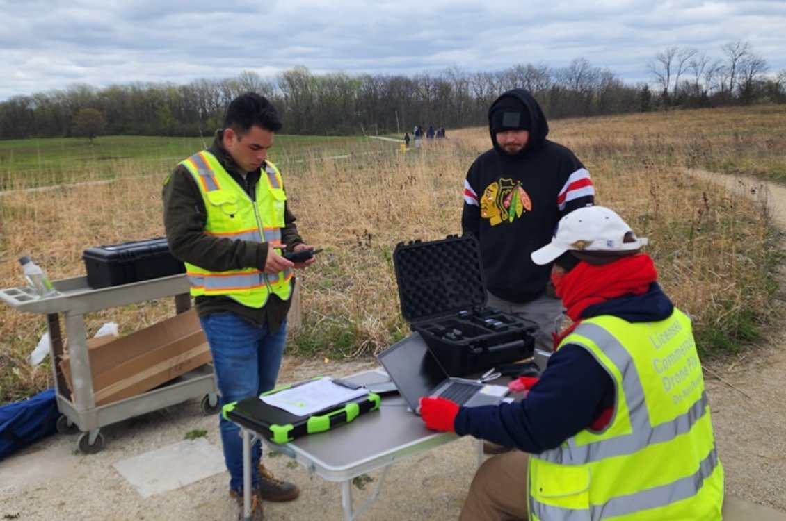
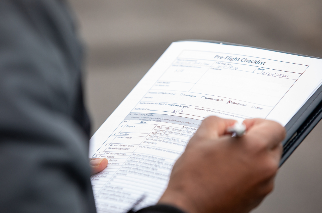
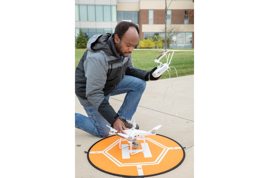
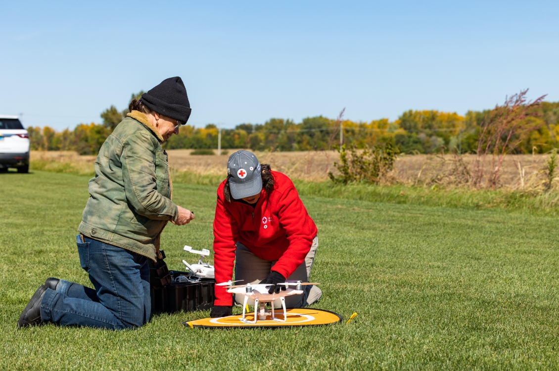
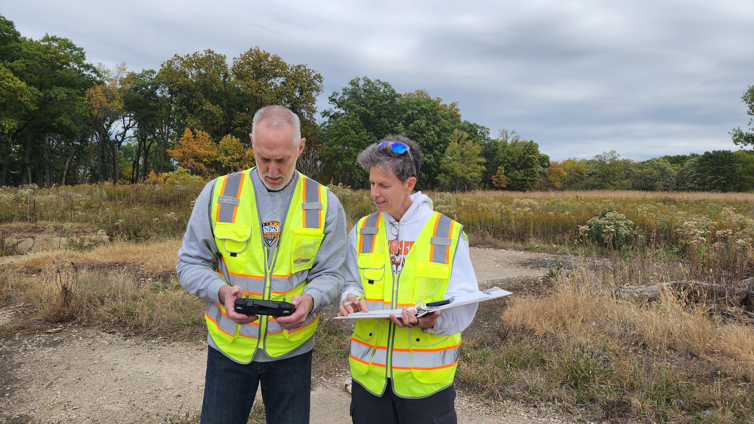
Preflight checks. Student experiential learning. Deer Grove Forest Preserve, Palatine.
Spring 2024.
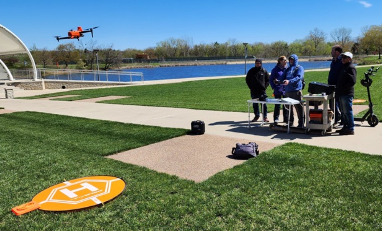
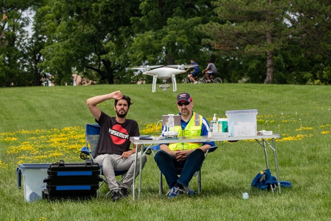
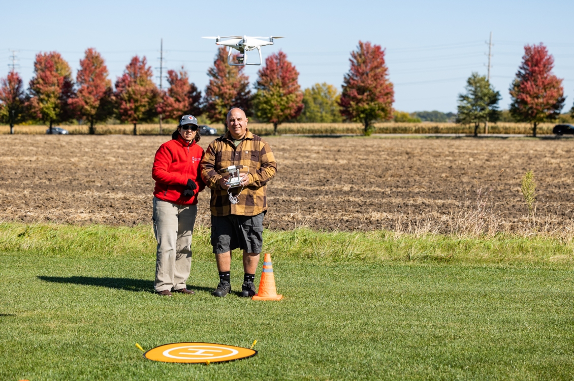
Field testing the new DJI Matrice 30T drone. Spring 2024.
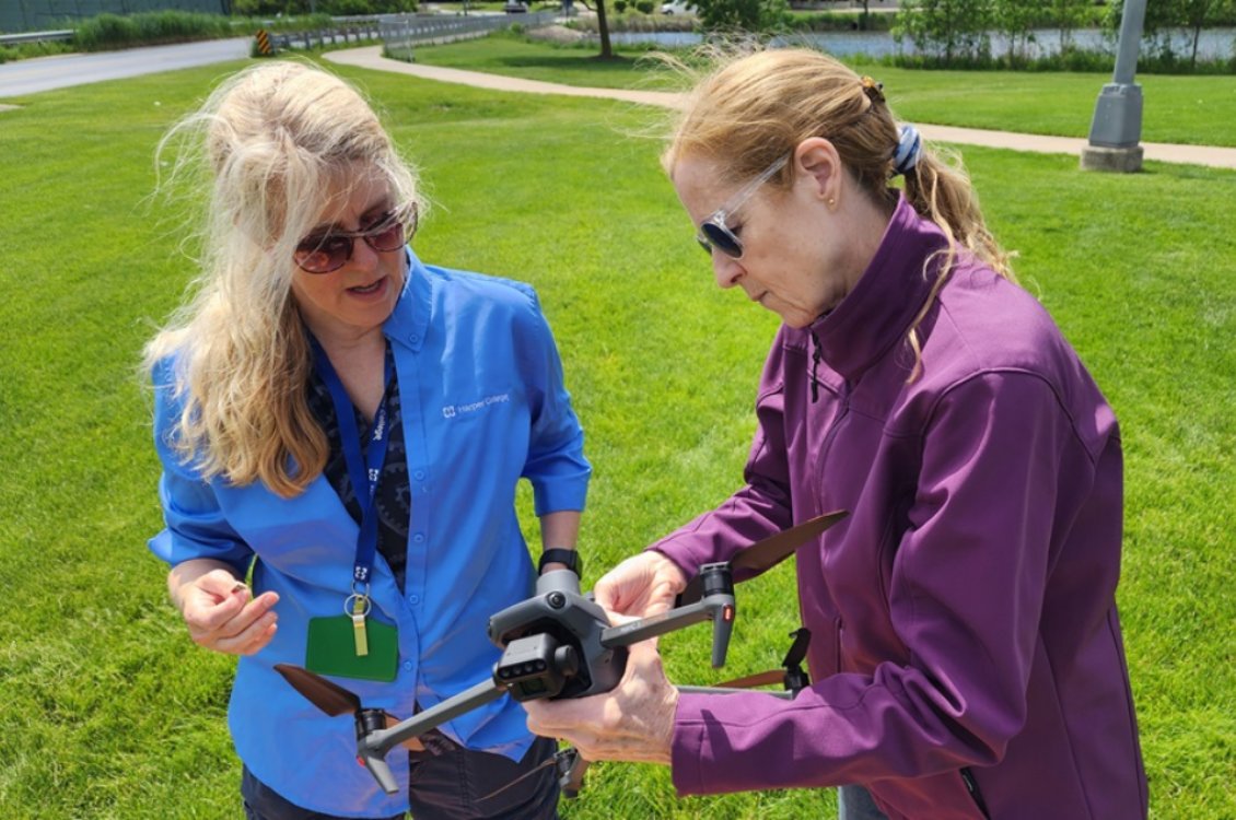
Harper faculty drone flight training. Spring 2024.
Harper faculty drone flight training. Spring 2024.
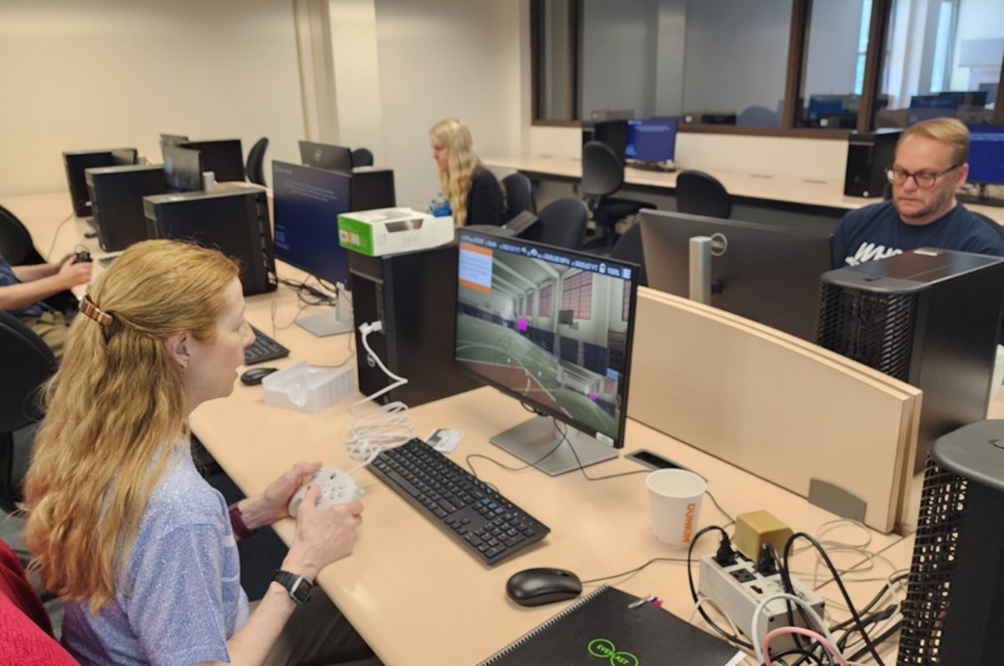
Harper faculty training on a drone simulator at a workshop. Spring 2024.
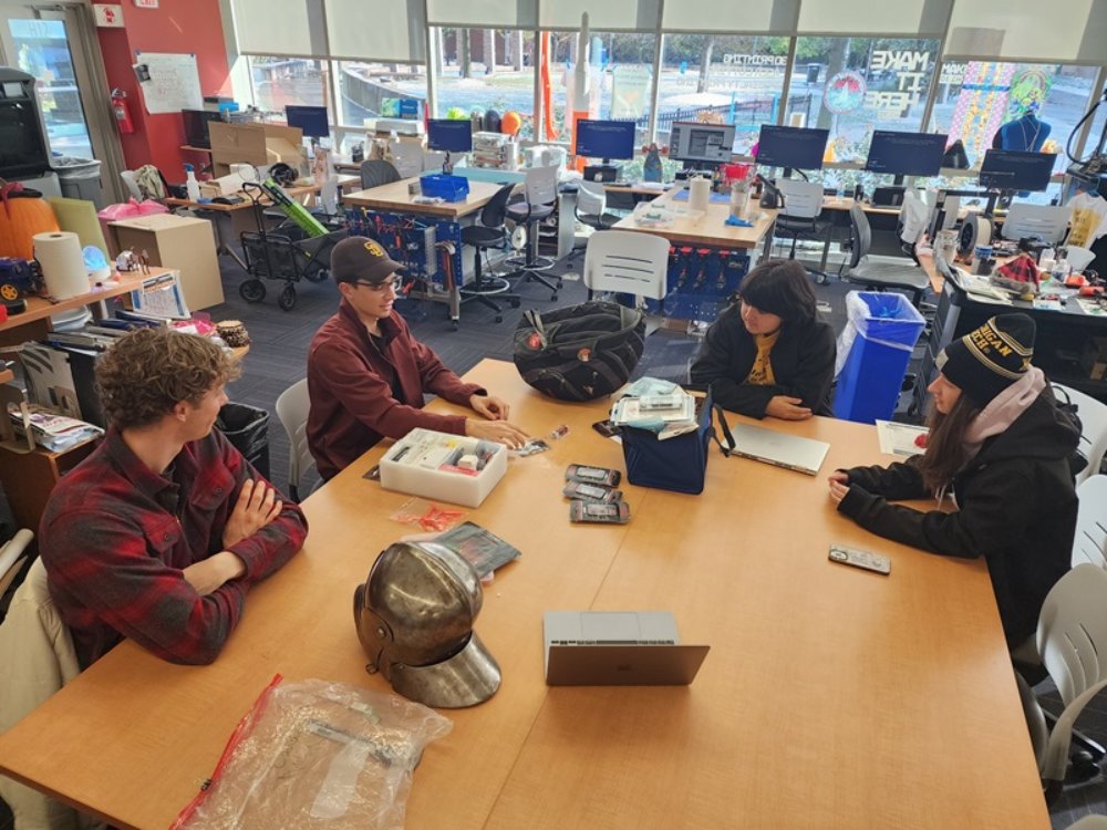
Drone club students learning about assembly. Fall 2023.
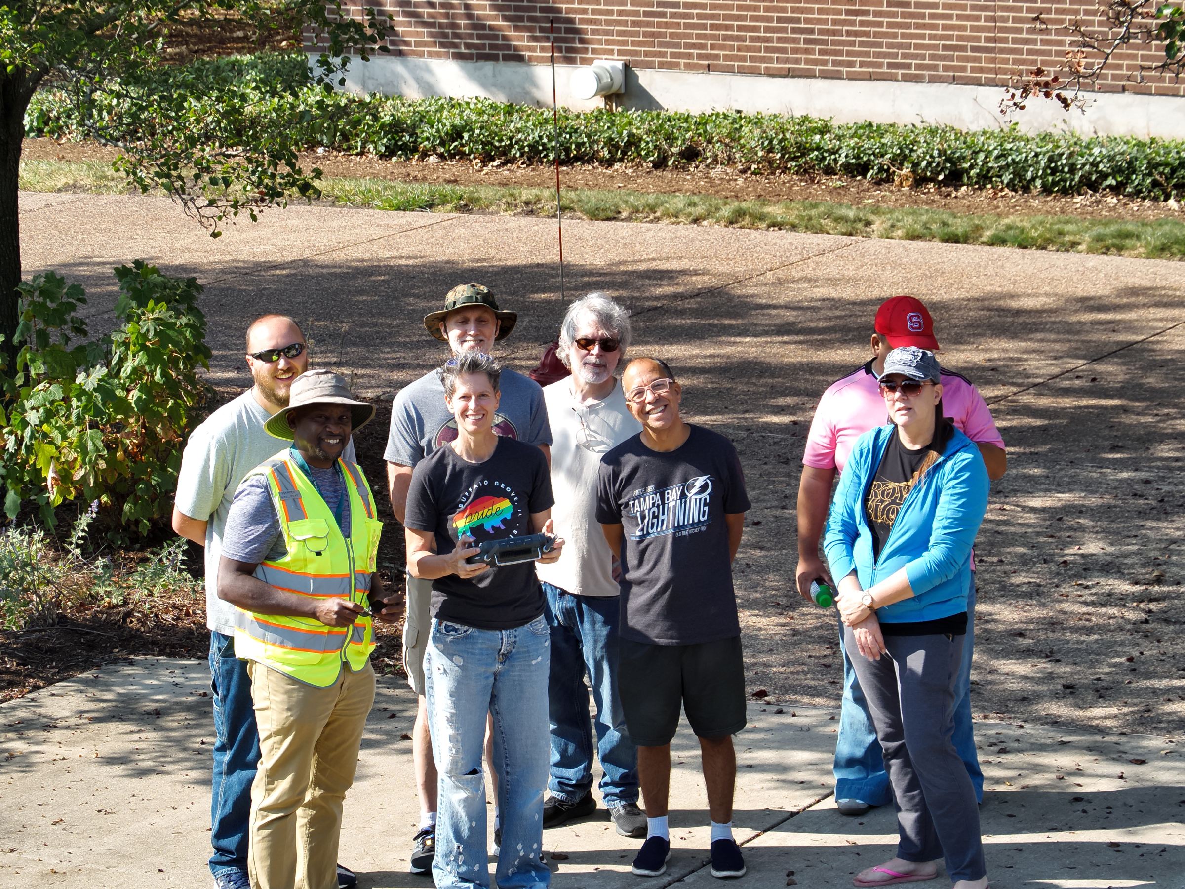
Demo for Public Safety Class. Fall 2023.
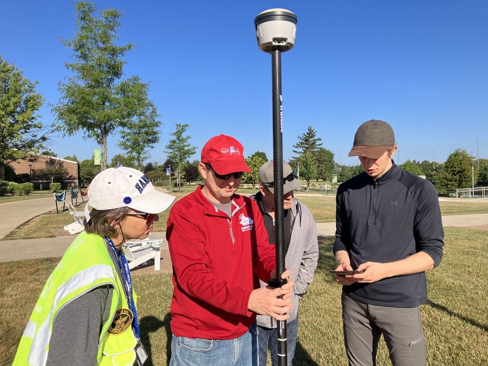
Using a high accuracy GNSS receiver in GEG 162. Fall 2023.
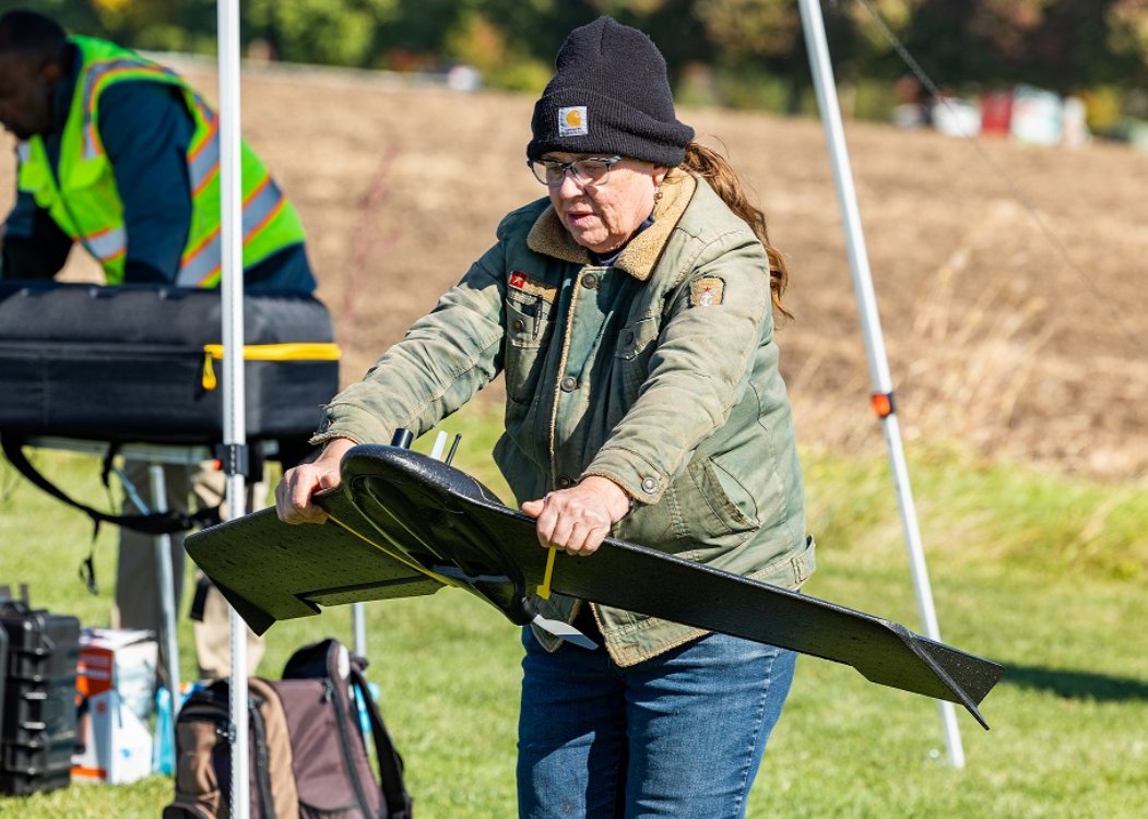
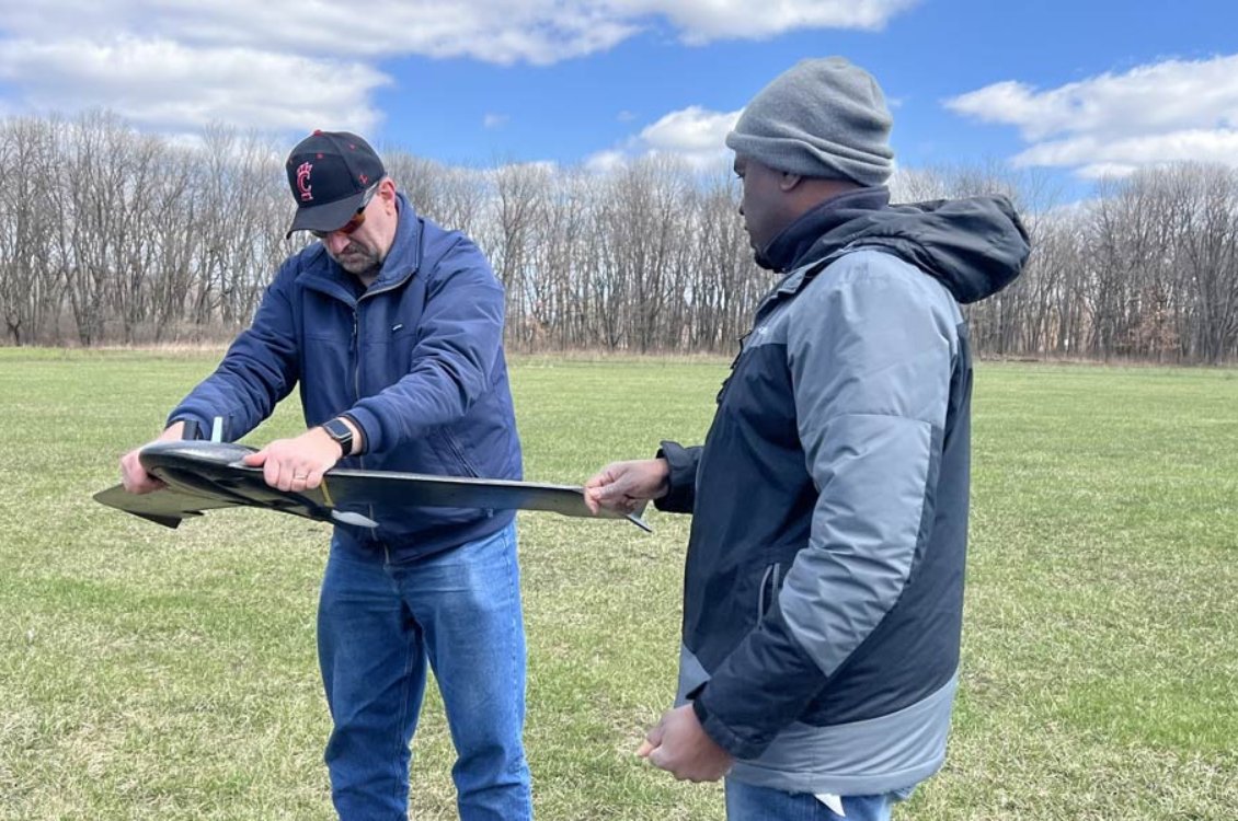
Flying a fixed wing drone in GEG 162. Fall 2022.
Faculty training with eBeeX drone. Busse Woods. Spring 2022.
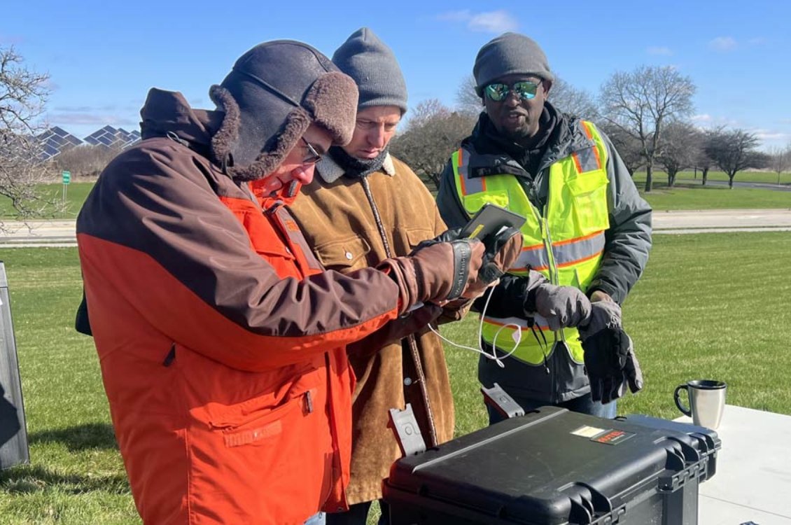
Preflight checks for a drone flight. GEG 161. Spring 2022.
Fernanda Kuzuhara flies a drone during a demonstration for FIS (Fire Science) 132.
Spring 2022
Student and faculty in GEG 161. Spring 2021.
Flying a multirotor drone in GEG 162. Fall 2022.
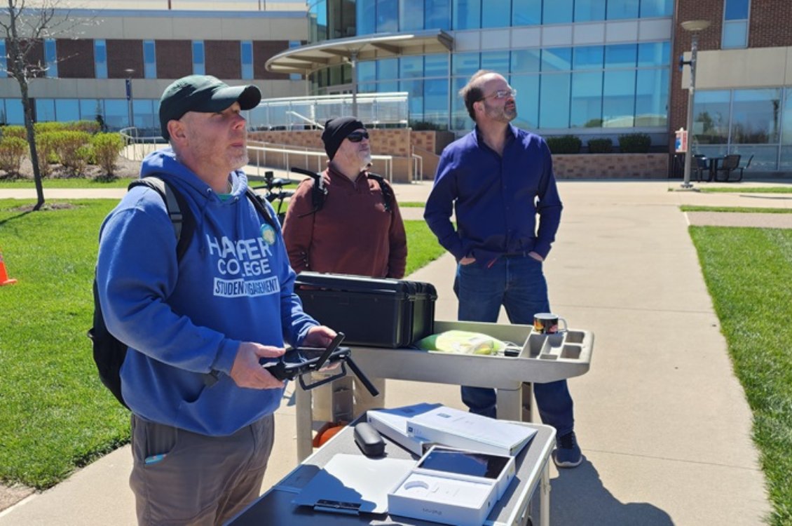
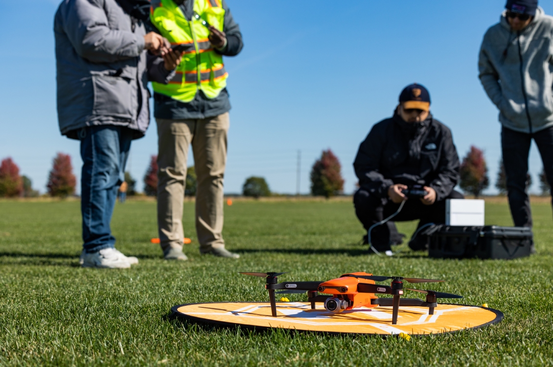
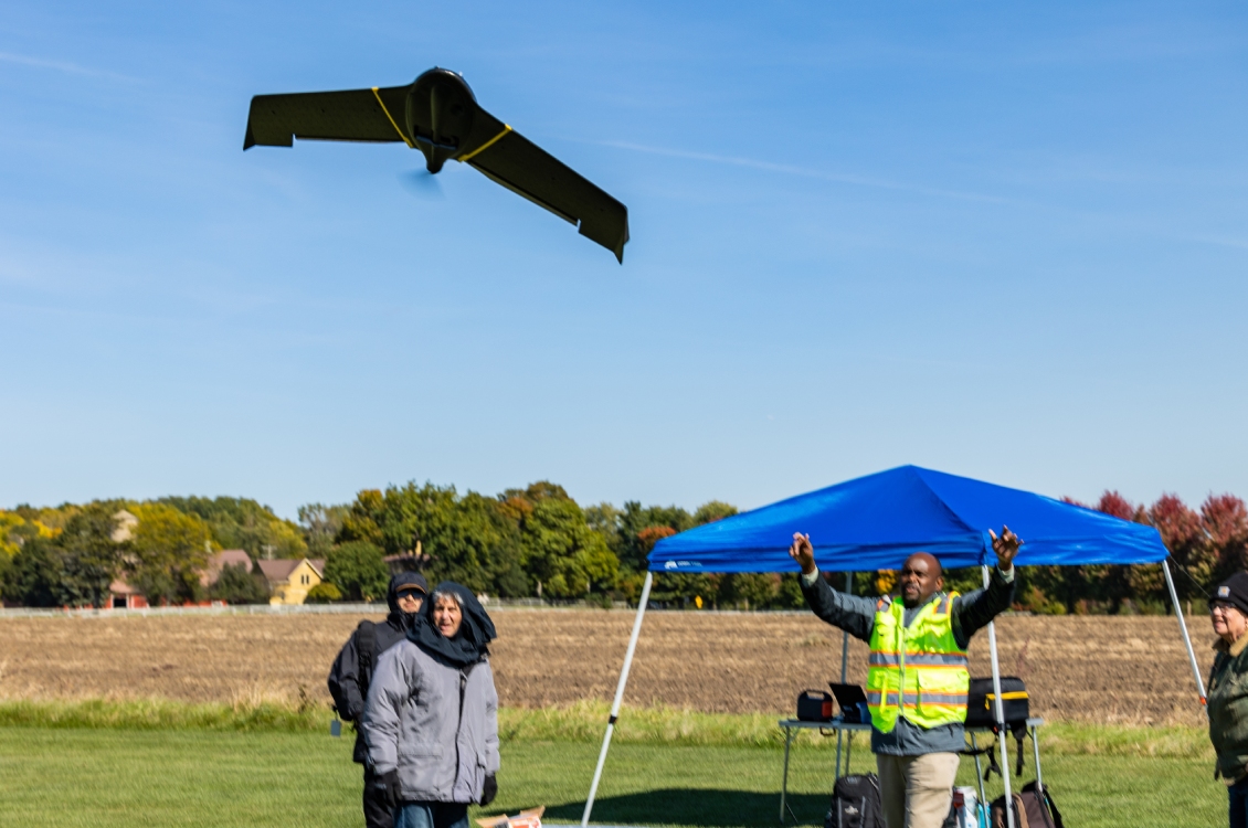
Drone Technology Class, Fall 2025
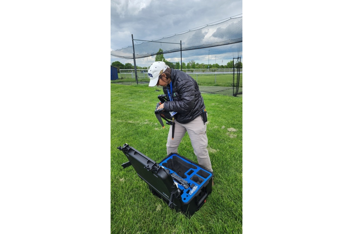
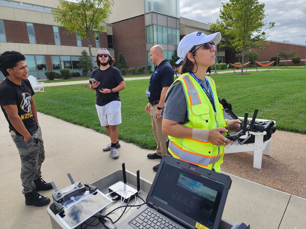
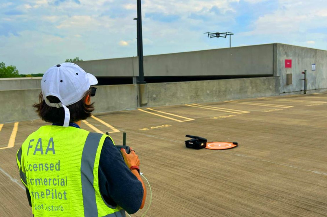
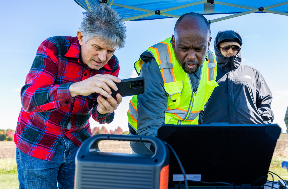
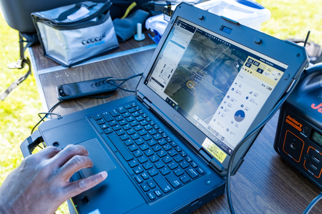
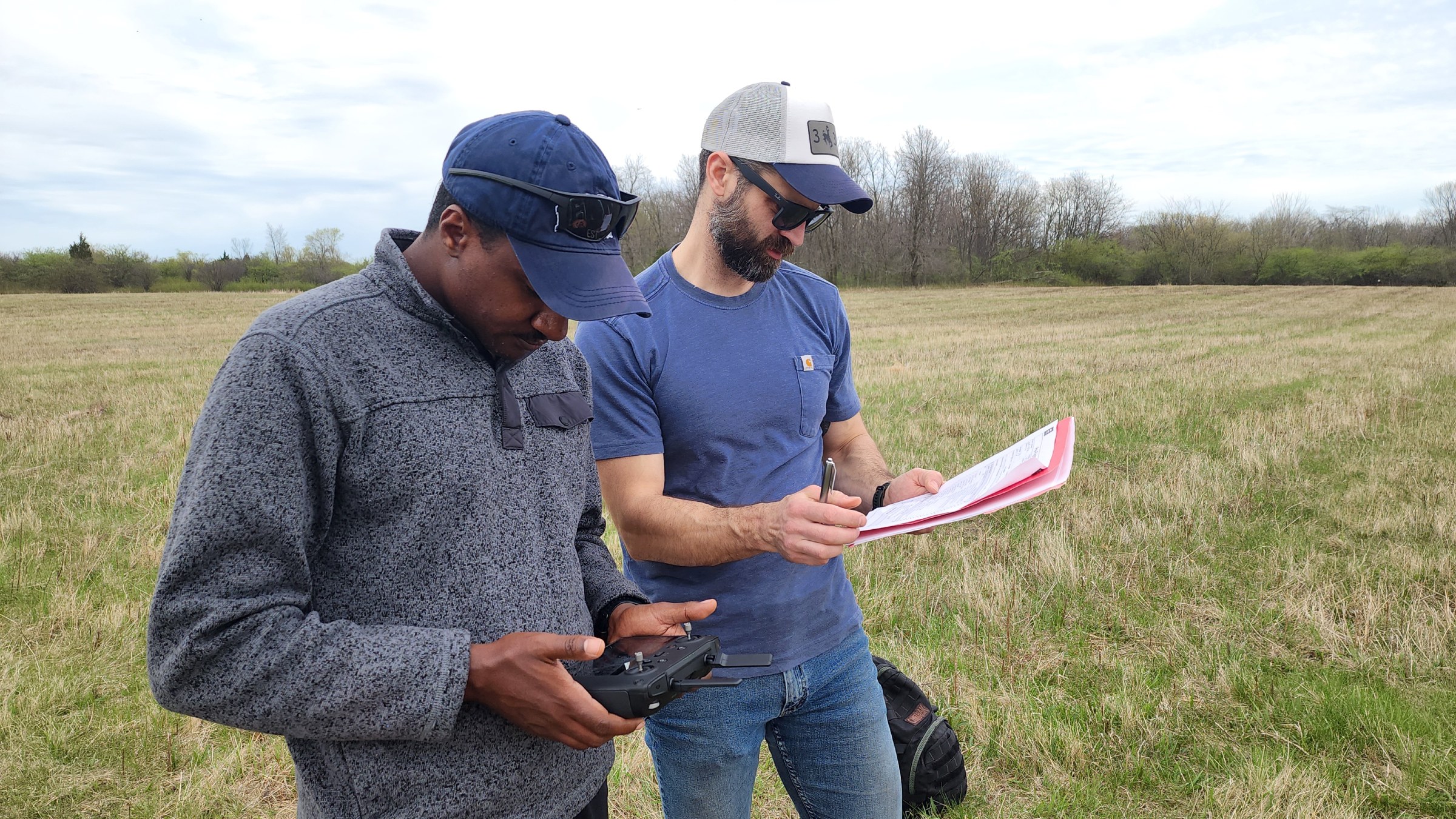
Experiential learning drone mapping mission, Fall 2025
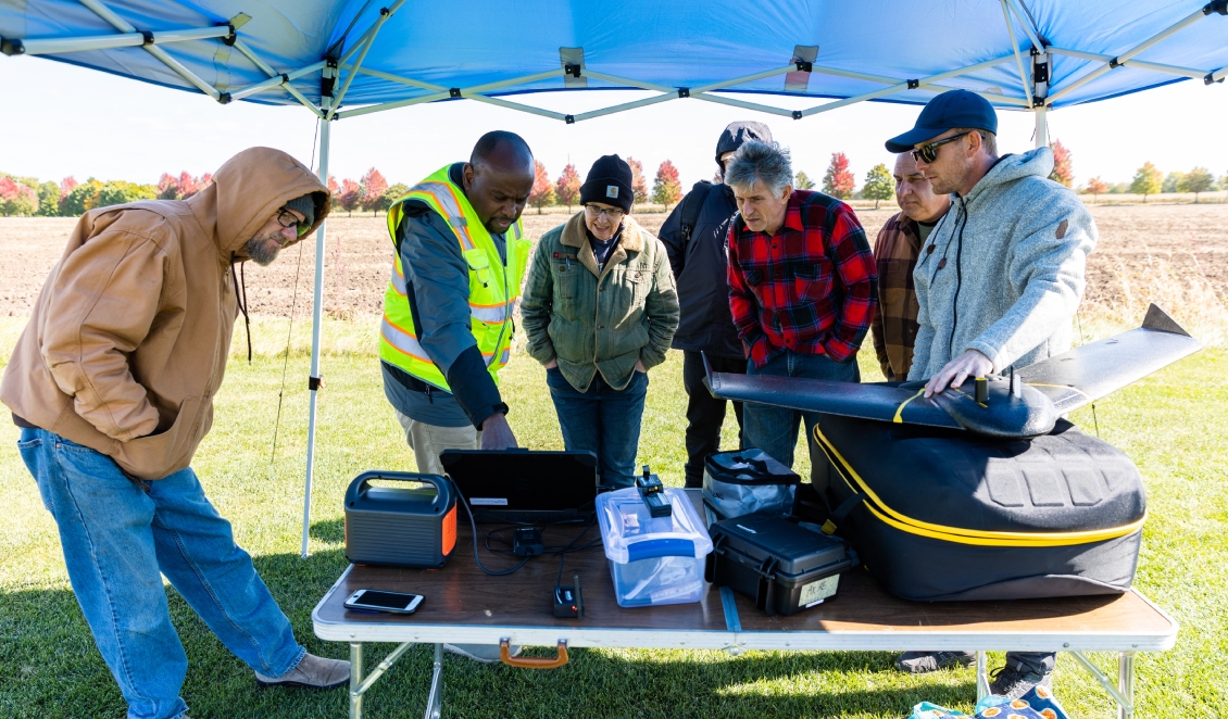
Experiential learning drone mapping mission, Spring 2025
GIS and Drone Program Videos
VIDEO
VIDEO
VIDEO