
Harper College will be closed on Monday, September 7, in observance of Labor Day.

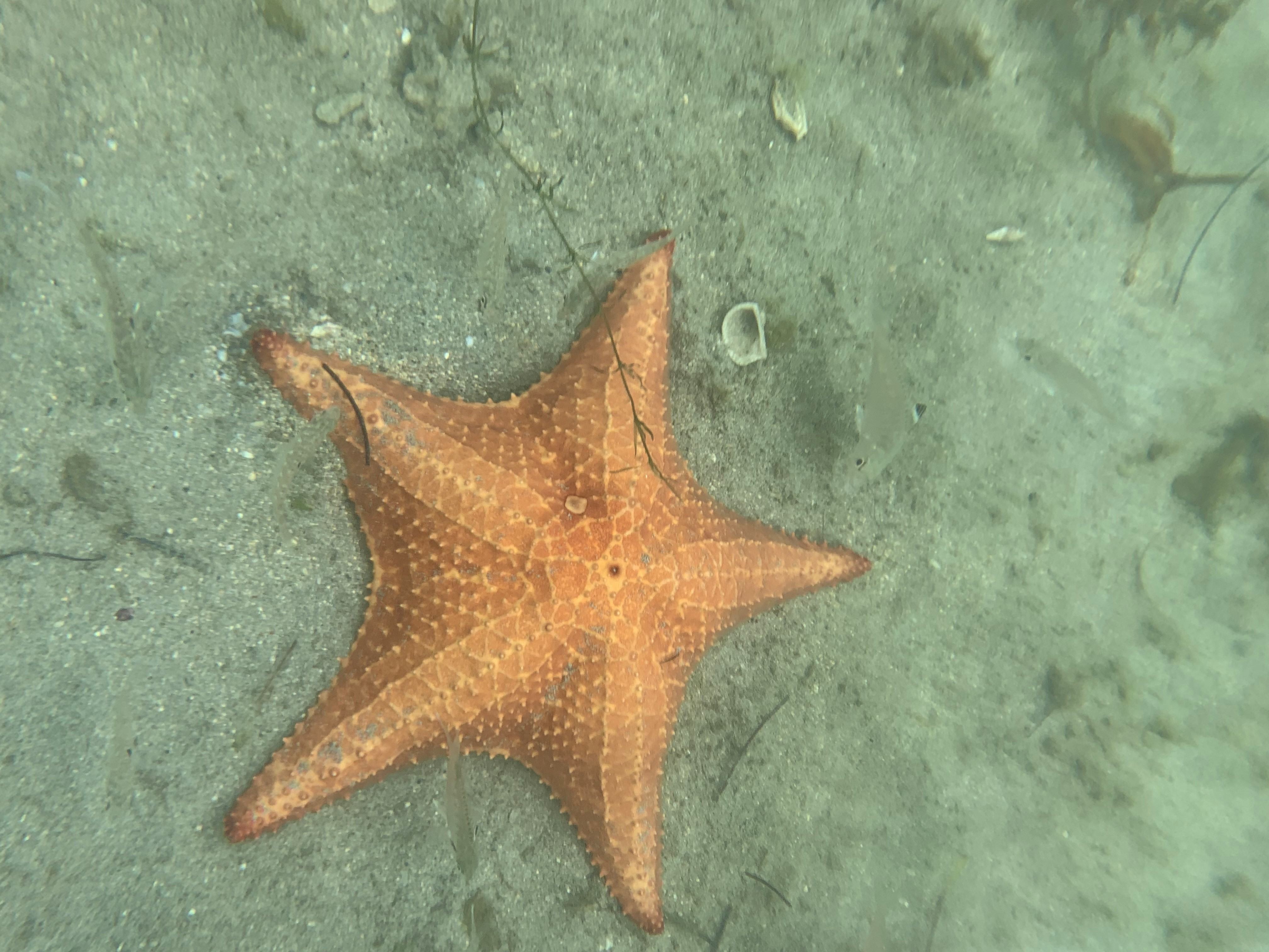
June 11th was an exciting day for the biology and geography sections of our integrated course load. This was the day our classroom knowledge would be applied in real-world situations that could inform future management techniques regarding beach longevity and tourist access. Our biology professor instructed the group on environment structure and the sampling techniques we were to use in the field, and then expanded on information about the locations where we were using them. Our group performed research techniques in 5 locations, to be analyzed in the field station laboratory later. After a quick but restorative lunch, the geography professor introduced our group to drone flying for mapping precision which would be an additional component to our data collection. These skills would be combined to develop the final research presented at the end of the term.
Water sample collection site 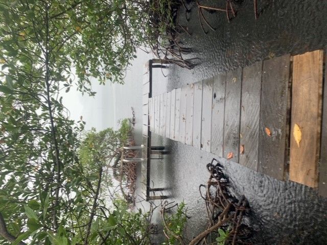
In 5 predetermined locations, we embarked on collecting samples. Our sites were concentrated in mangrove forest and related coastlines. Unique for its ability to withstand saltwater and provide shelter for various coral reef species was the red mangrove forest. Off its coast we would find 2 additional biological communities, seagrass beds, and coral reefs. These communities all faced the same global and local stressors to varying degrees. The global stressors affecting the island’s coastal ecosystems were climate change, acidification, and rising sea levels. Local stressors included 2 types of pollution; point source pollution and non-point source pollution. Point source pollution is when pollution comes from a locatable point, such as a drainage pipe; while non-point sources are less determinable like runoff containing fertilizers. Our first site was intact mangroves with adjacent cow pastures where we hypothesized there would be increases in nitrogen or phosphorus. The second site was a creek that emptied into the lagoon near the beach where we thought nitrogen and phosphorus would be lower. For the third site, intact mangroves were located next to an abandoned canal built to transport bananas that had less human activity, giving rise to the thought that runoff would cause noticeable erosion and sedimentation. Directly across from this canal was our fourth site where we would see more intense human use of the beach itself. The final site was nearer to Bocas Town, an urbanized area where we anticipated we’d see the highest levels of pollution and coastal degradation.
Explanation of plankton collection net 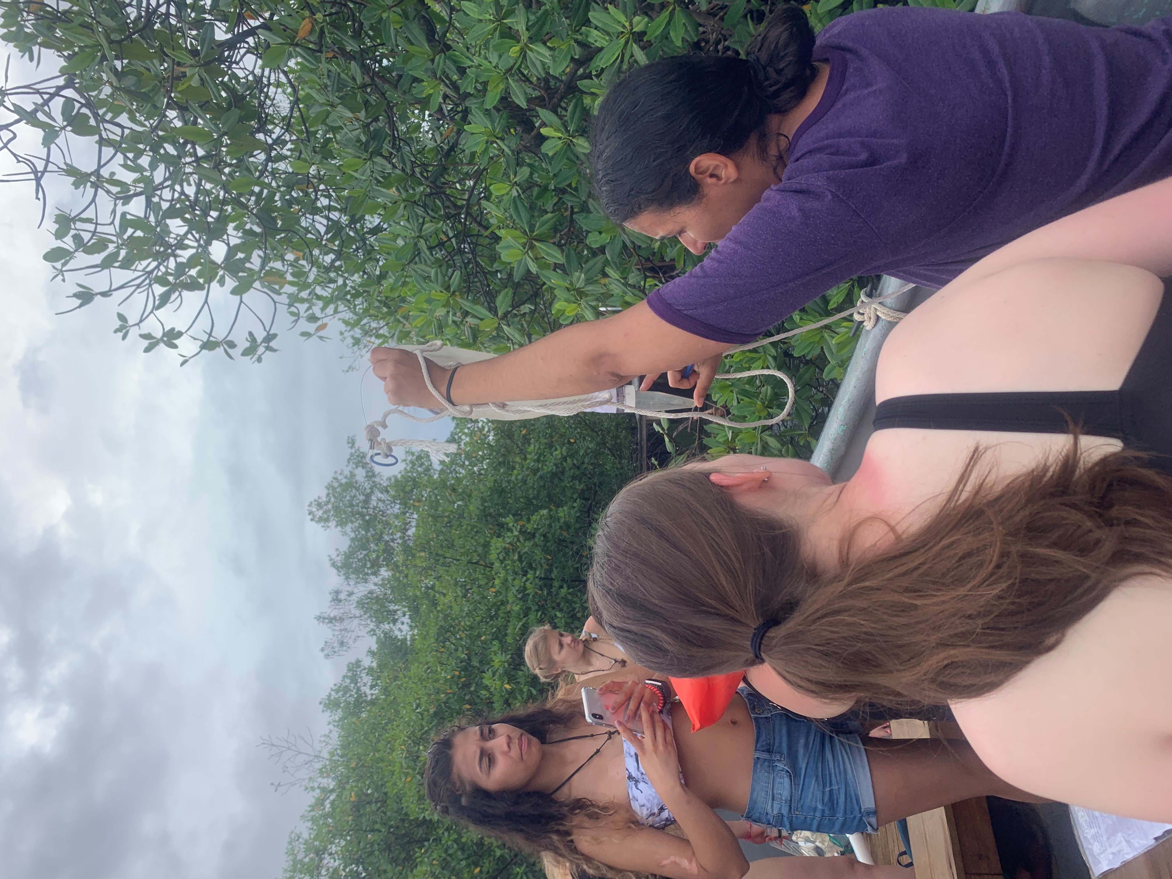
Our sampling began with collecting water in small jars to be analyzed for nutrient content in ITEC Field Station’s lab. This was how we could get data points for contaminants such as nitrates, phosphates, copper and turbidity (cloudiness) as well as testing for salinity and pH values. These values could tell us the relative health of our sites, knowing that nutrient deposits cause algal blooms that disadvantage reef species while turbidity, salinity and pH could illuminate which environmental factors would affect hunting, foraging and home ranging behaviors of the reef animals. The second skill utilized was plankton catching. Using a specialized net that funneled contents into a collection jar (pictured above), we would be able to distinguish phytoplankton or zooplankton back at the ITEC lab. For me, the most exciting data collection was biota sampling. This was a skill that placed us in the water looking under the surface for animals or plants. A measuring tape was extended 50 meters at each site and every 5 meters someone would dive down to observe what organism was below the tape marker. Great variation was possible because sediment, algae, seagrass, or animal organisms could be seen. We listed the biota sampling observations and included other organisms seen near our tape measure in a separate data table. We were able to include various fish, crabs, sea urchins, sting rays, sea cucumbers, hard and soft coral, and of course the beloved starfish used as a moniker for the beach. Noting our collective observations, we included the percentage of mangrove cover, amount of litter, presence of drains or rivers and any evidence indicating erosion. These additional data points would further our understanding of the sample sites and could help our group make more impactful research conclusions.
Lab analysis of water samples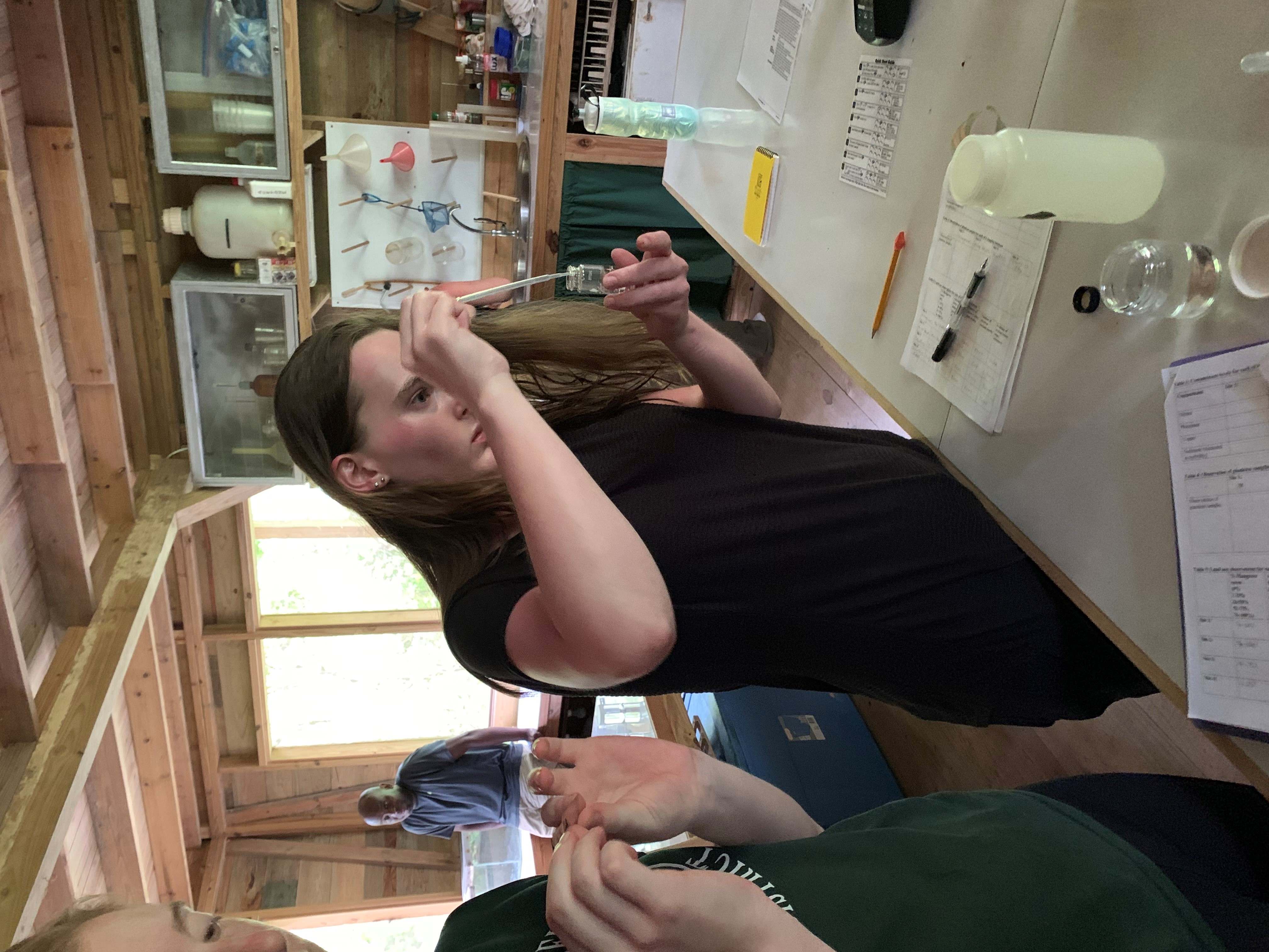
The following experience was geography focused and included an introduction to droning. It was explained that FAA licensing was required and strict adherence to a pre-flight checklist was paramount. Because of our location’s proximity to an airport, additional paperwork was required to ensure the device was unlocked for our field activity. In looking over the checklist, the geography component was easily recognized. Apart from some equipment and programming checks, the list called for meteorological data such as windspeed, predicted precipitation and storm information. The list also called for a flight plan and GPS location of the start point. GPS plotting of the starting point was required for a programming failsafe called ‘return to home’ that enabled the drone to be redirected back to the site of initial takeoff in the event the drone was out of eyesight or for the user to address equipment changes, such as changing a camera lens or battery. To prepare for takeoff, we staked the small landing pad to the ground matching the cardinal directions for orientation. Controlling the drone was similar to playing a video game in that the button position was the same and directionality was intuitive. The flight path was created to mimic our biota sampling path, giving us an aerial perspective of those research sites. From this vantage point we were able to confirm predicted land use of the surrounding areas that gave some explanations for analysis results. Additionally, this drone was equipped with a camera for taking still photos and short videos to visually aid our final presentations.
Drone flight instruction 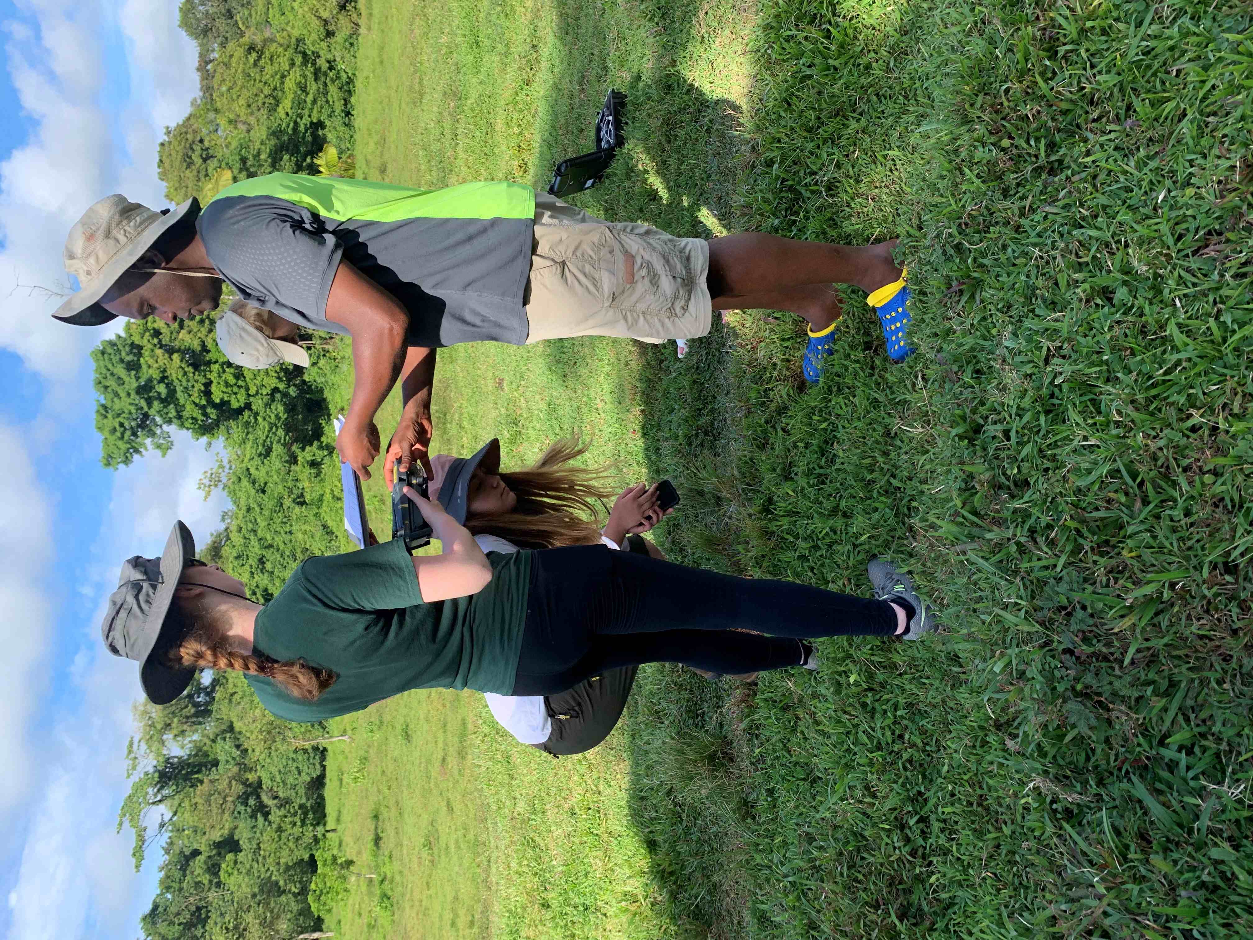
From field research techniques such as biota sampling and plankton collection to our innovative use of technology that would bring subjects into visual cohesion, our study abroad trip to Panama was an immersive experience. Our dynamic team was able to research a real-world situation with an interdisciplinary approach that helped us explore how problems are evaluated and addressed with a professional style. Being in the field allowed us to face similar challenges that specialists face daily. This required our cooperation, attention to detail, and ingenuity in adapting our techniques to our current environment and prepared us for the higher standards our careers would have for us in the future. The on-the-ground experience of this study abroad program is irreplaceable for learning and skill building.