
Harper College will be closed on Monday, September 7, in observance of Labor Day.
Program facts 
Learn how to apply geographic information systems (GIS) and global positioning systems (GPS) tech and methods with this certificate program offered 100% online for ultimate scheduling flexibility.
GIS is an exciting, rapidly changing technology. You can greatly enhance your career opportunities with knowledge of geospatial technology tools, such as GPS, GIS and earth imagery from platforms such as satellites and unmanned aerial systems (drones).
Take courses in business software packages, database systems, GIS and mapping principles, applications for GIS and more. All courses are taught by skilled instructors who are extremely knowledgeable in the GIS field.
This certificate program has been designed to be offered in an online format. For more information about online courses at Harper, see the Online Learning website.
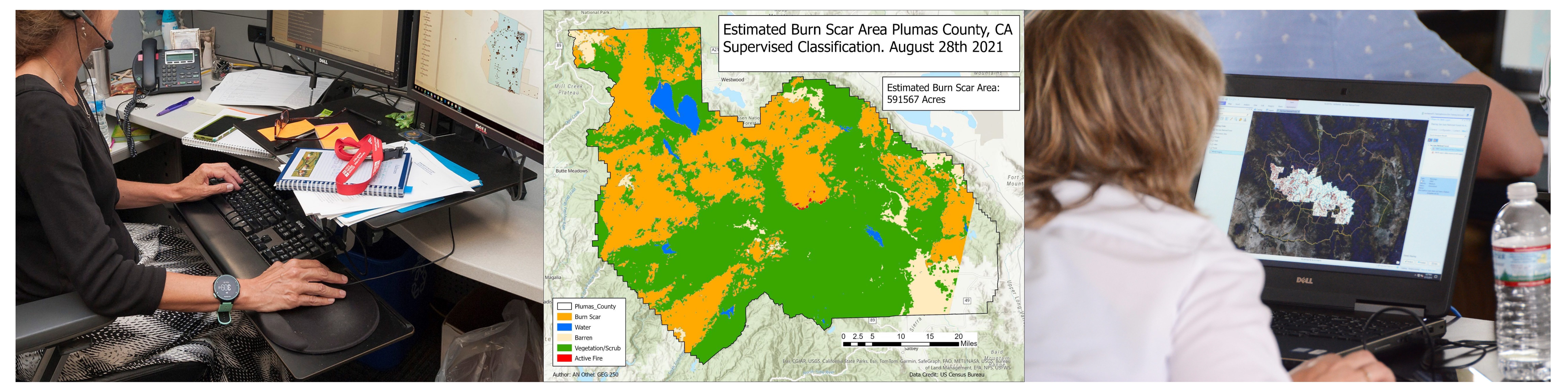
This 18 credit-hour certificate provides students with the skills and knowledge necessary to effectively apply Geographic Information Systems (GIS) and related technologies and methodologies in various business and public sector domains as a technician or analyst. This certificate provides course work and hands-on experience in cartographic design, spatial analysis, spatial database design, the fundamentals of remote sensing, as well as the use of geographic computing devices and accessories.
| Number | Course Title | Credits |
|---|---|---|
| Required | ||
| GIS 100 | Introduction to Geospatial Technologies | 3 |
| GIS 101 | Geospatial Data Acquisition and Management | 3 |
| GIS 102 | Spatial Analysis | 3 |
| GIS 103 | Applied Geospatial Technology | 3 |
| GIS 200 | Introduction to Remote Sensing | 3 |
| Electives | ||
| Select three credit hours from the following courses: | 3 | |
| CIS 106 | Computer Logic and Programming Technology1 | |
| GEG 100 | Cultural Geography | |
| GEG 101 | World Regional Geography | |
| GEG 103 | Geography of the Developing World | |
| GEG 111 | Physical Geography | |
| GIS 104 | Geographic Information Systems Internship | |
| Total Hours | 18 | |
Placement into college-level mathematics without support. See the math placement grid for more information.
Want to learn more about Harper’s GIS courses and certificate? Contact Program Coordinator Mukila Maitha at mmaitha@harpercollege.edu or 847.925.6521, contact Admissions Outreach at 847.925.6700, or submit a request information form.