Harper College is closed Friday, July 3, for Independence Day (Observed).
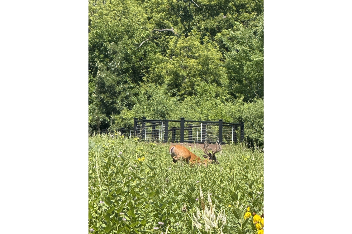
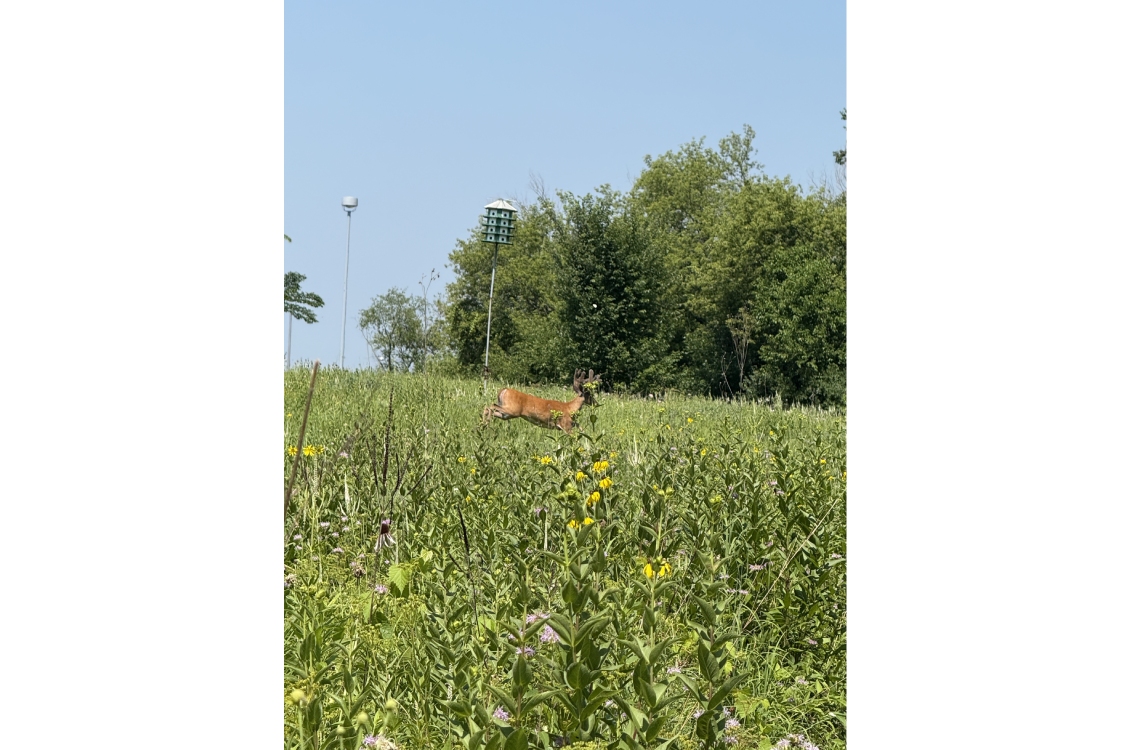
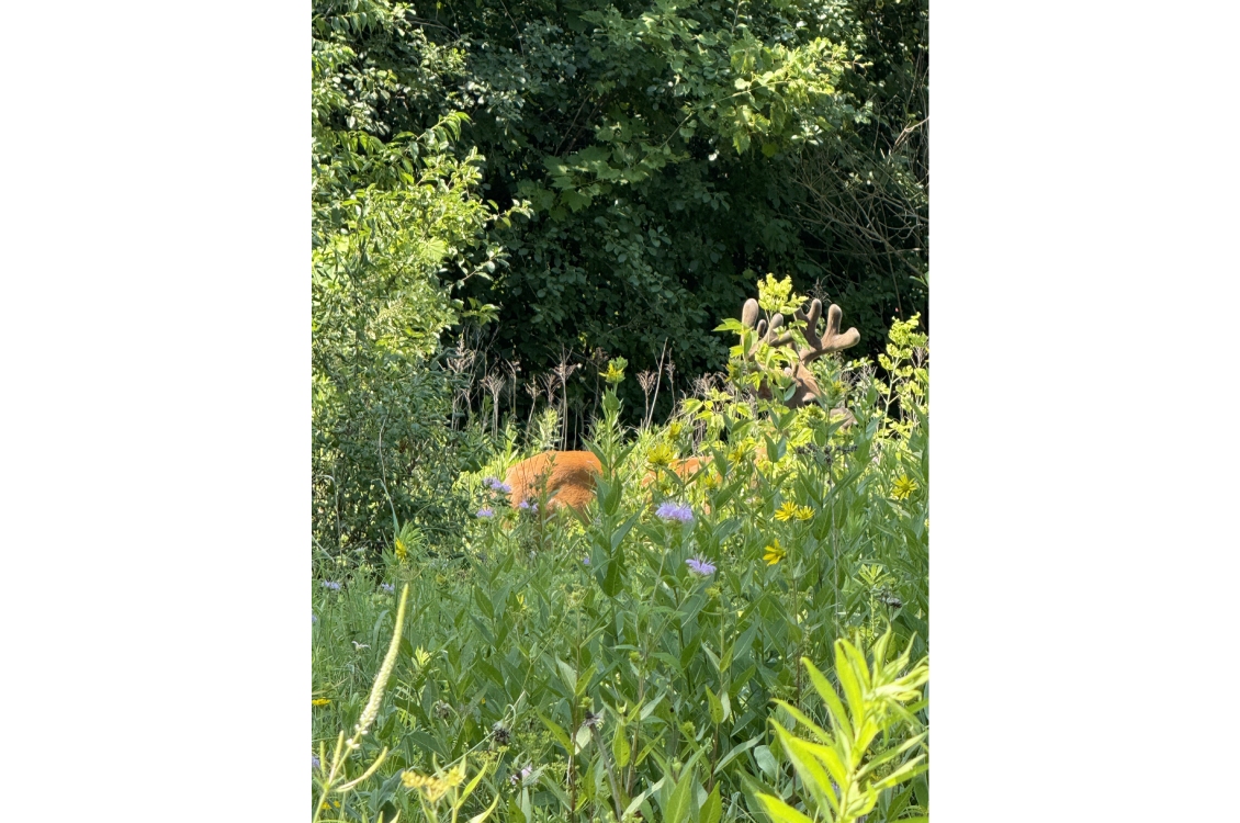
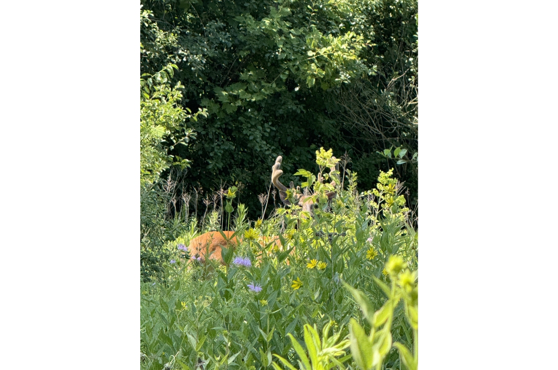
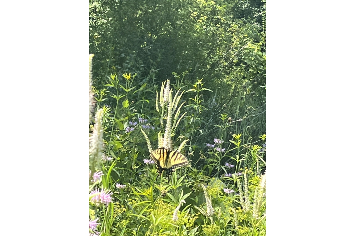
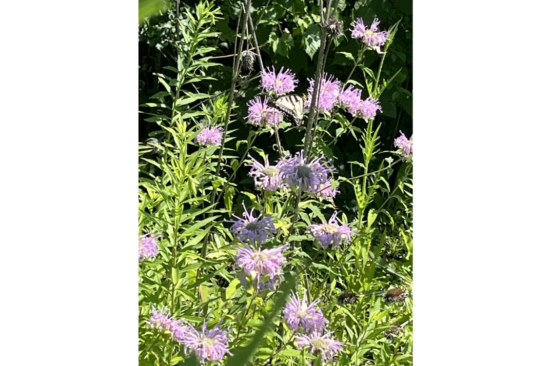
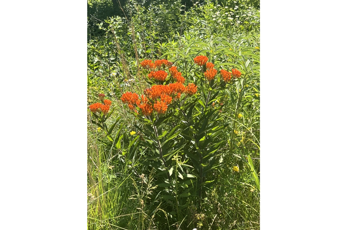
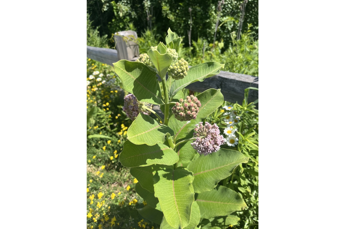
The Craig Stettner Prairie is maintained by Harper College’s Biology Department. This site was once an old farm field. Work began in the mid 1980’s to transform the field into a prairie research area for the Biology Department. Faculty, staff, and students have worked for decades to create the campus prairie we have today.
The prairie is dedicated in name to beloved professor Craig Stettner who helped transform acres of grassland into a robust ecological and learning community.
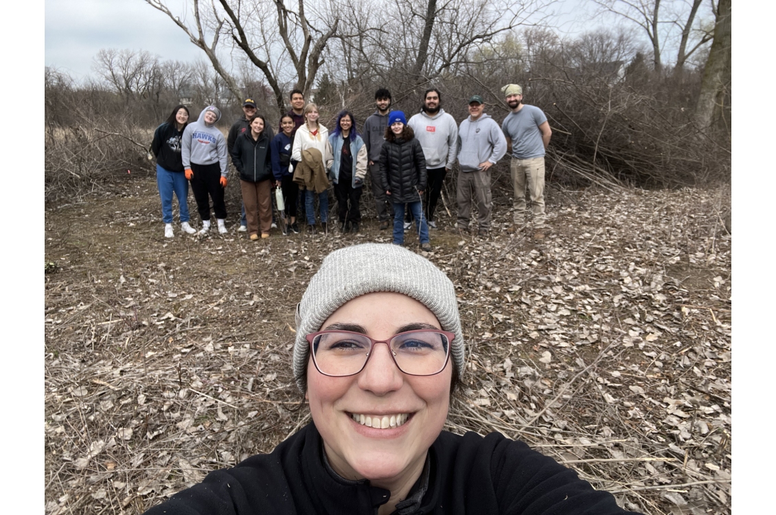
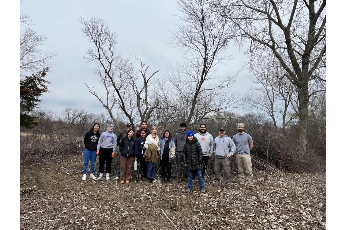
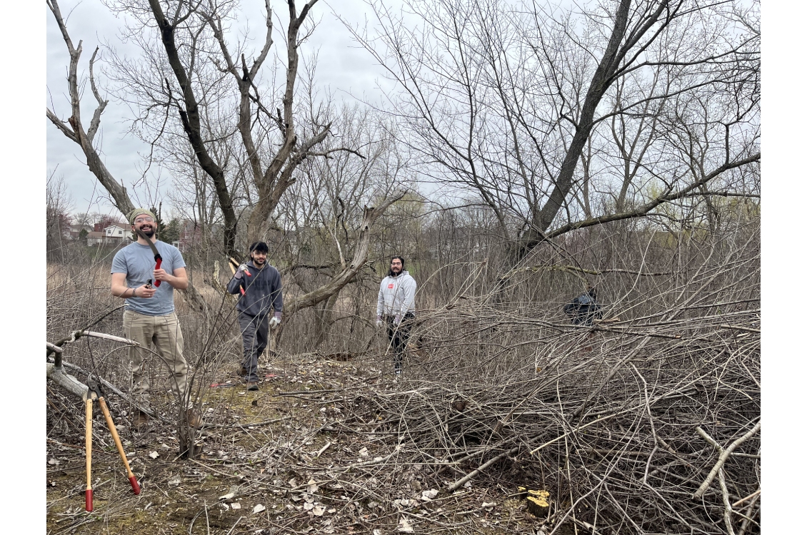
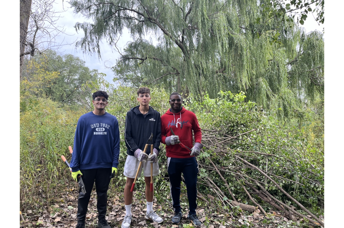
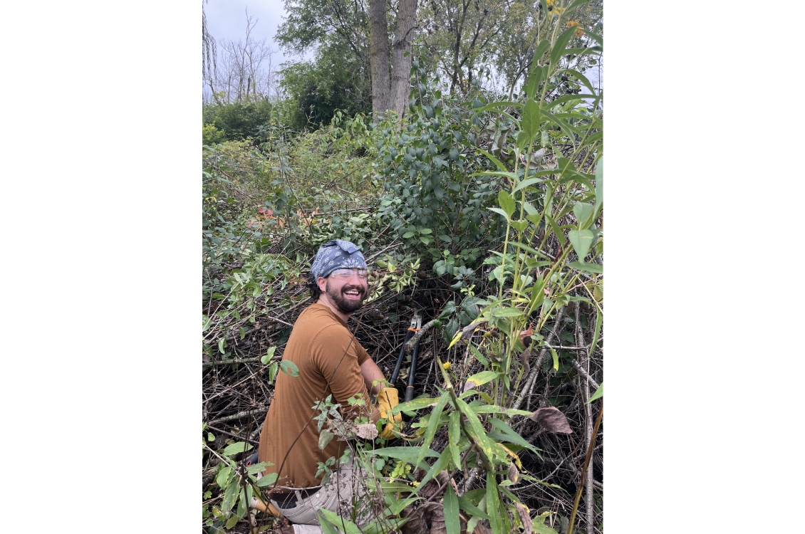
The Biology Department frequently hosts volunteer events that involve removal of invasive
species, seed collection, and seeding of the prairie. To be added to the volunteer
list for prairie workdays, please click the button below to open our volunteer signup
form.
 Volunteer for Prairie Workdays
Activities include removal of invasive species, seed collection, and seeding native prairie plants. Click the button below to open the volunteer signup form hosted on Formstack. Your participation helps maintain and study this valuable habitat.
Sign Up for Volunteer WorkdaysOr email directly: Ginger McHugh-Kurtz
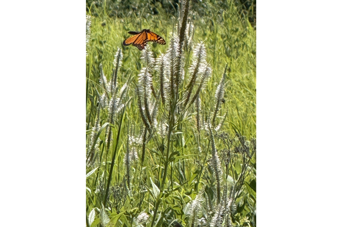
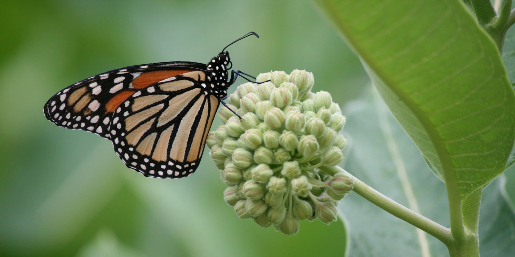
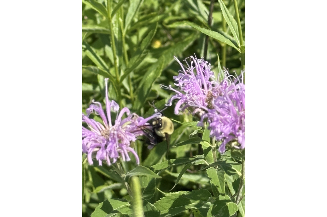
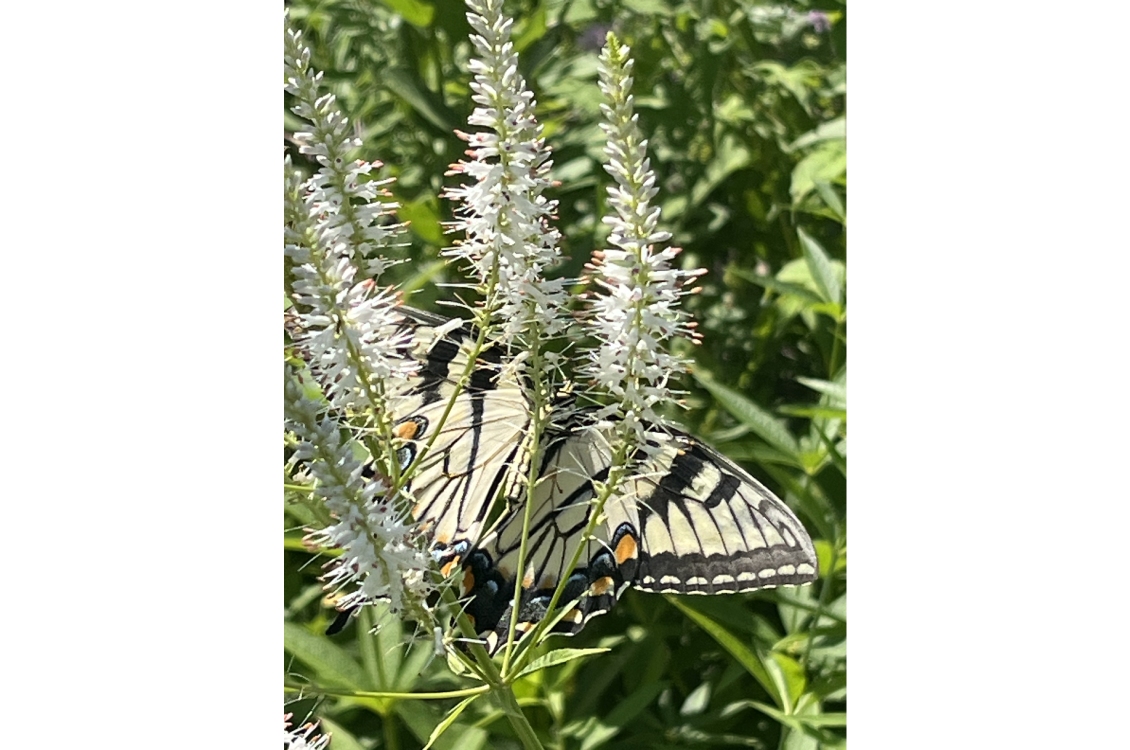
The Prairie Pollinator Grant is an internal grant-funded, five-year project to increase pollinators on our college campus. The objectives of the project are as follows:
View our Monarch Migration Story Map
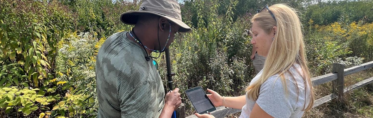
The Harper College Biology Department, in partnership with the Geographic Information Systems and Drone Technology Department, has adopted drone technology and ArcGIS applications to restore the Craig Stettner Prairie on the college’s campus. Habitat restoration efforts are increasingly implementing GIS (Geographic Information System) applications to enhance monitoring and management.
Drones equipped with high-resolution visible light cameras and multispectral sensors offer detailed insights into vegetation health, mapping species distribution, identifying invasive species, and tracking restoration progress. The ArcGIS application Field Maps further enhances this process by providing detailed assessments and visualization of data through the ArcGIS dashboard.
The GIS data is combined with the traditional ecological assessments, the Floristic Quality Index (FQI) and Floristic Quality Assessment (FQA), to facilitate informed and effective monitoring of the prairie restoration project. This integration ensures that project goals are met, human impacts are minimized, and long-term health of the prairie ecosystem is supported.
As a Social Justice Studies Capstone Project, Ellen T.R. completed a community education project raising awareness of the historical, cultural, and ecological significance of native plants in the prairie and their connections to indigenous communities through interactive educational signage and interviews.